BakerJarvis/Shutterstock.com
TierneyMJ/Shutterstock.com
V_E/Shutterstock.com
Raske/iStock via Getty Images
James Andrews/iStock.com
Kirkikis/iStock via Getty Images
CC BY-SA 2.0
Nycticorax nycticorax/Shutterstock.com
Vincent Vuoto/Shutterstock.com
Scott Heaney/Shutterstock.com
Creative Commons
travelview/iStock via Getty Images
Ultima_Gaina/iStock via Getty Images
J Duquette/iStock via Getty Images
Eric Bardo/iStock.com
BakerJarvis/Shutterstock.com



15 Fascinating New York Islands, From Manhattan to a One-House Island
New York has a lot more islands than Manhattan and Long Island. Some are packed with millions of people, while others are home to abandoned hospitals, protected bird colonies, beaches, parks, and, in one case, basically one house and a tree. From islands hiding in plain sight inside New York City to tiny specks in the St. Lawrence River, here are 15 of the most interesting islands in New York.
1. Manhattan
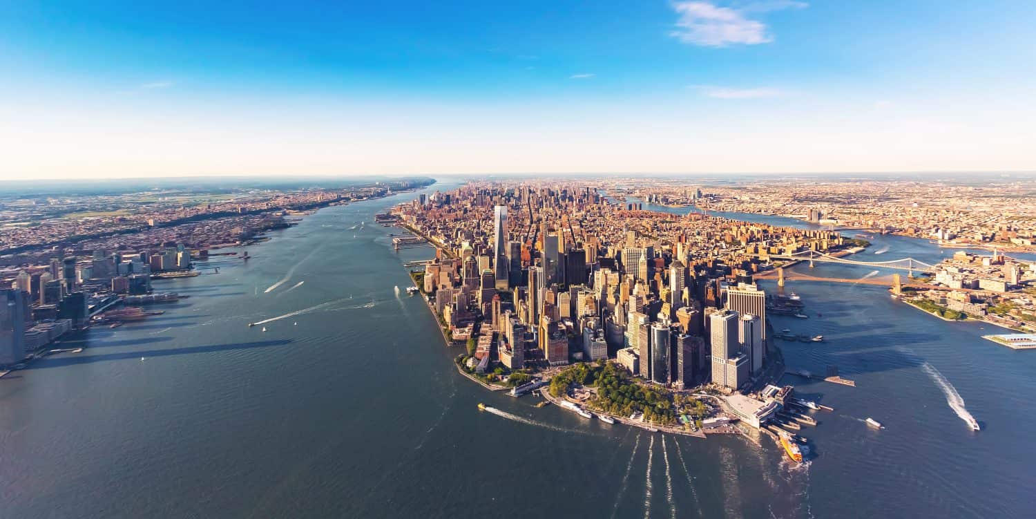
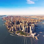
- Manhattan Island forms the heart of the borough of Manhattan and is surrounded by the Hudson River on the west, the East River on the east, and the Harlem River to the north. The borough also includes several smaller islands and Marble Hill, which is physically attached to the Bronx. Manhattan is the smallest of New York City's five boroughs by land area and easily the most densely populated. New York County, which is coterminous with the borough, had an estimated population of about 1.66 million in 2025. The other four boroughs are Brooklyn, Queens, the Bronx, and Staten Island.
2. Governors Island
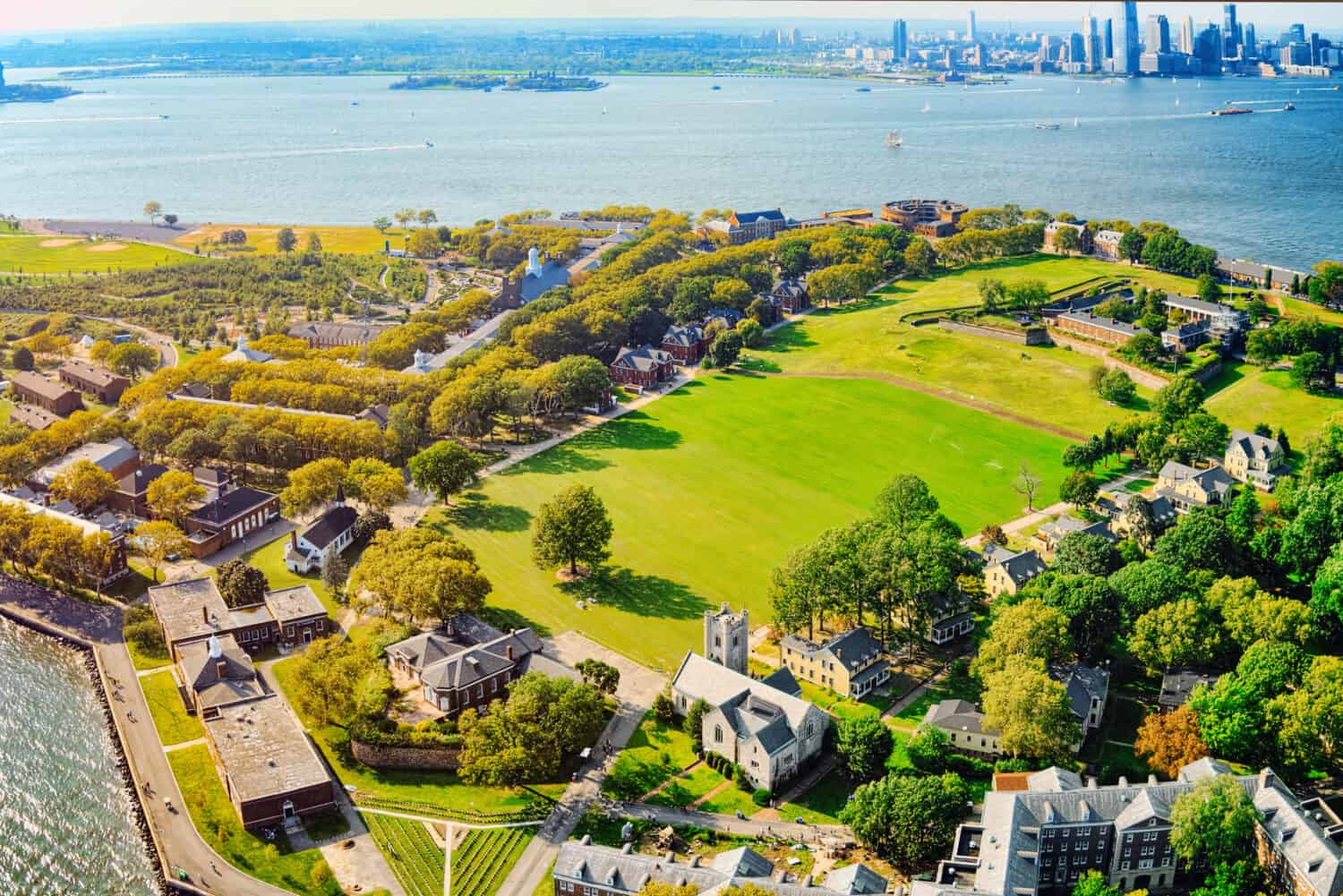
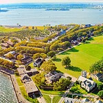
- Governors Island sits in New York Harbor about 800 yards from Lower Manhattan. The 172-acre island is open to the public year-round, with daily ferry service from Lower Manhattan. NYC Ferry also serves the island, and additional Trust-operated ferries run from Brooklyn on seasonal weekends and holidays. Twenty-two acres make up Governors Island National Monument, including Fort Jay and Castle Williams, while much of the rest of the island is devoted to parkland, cultural attractions, educational programs, restaurants, and other public uses. It feels surprisingly removed from Manhattan considering the skyline is sitting right there.
3. Randall’s Island
- New Yorkers usually call the combined landmass Randall’s Island, although Randall’s and Wards were once separate islands. Little Hell Gate ran between them until the channel and surrounding wetlands were gradually filled, joining the land together. Today, Randall’s Island Park contains roughly 330 acres of parkland, more than 60 athletic fields, waterfront paths, wetlands, gardens, an urban farm, and the 5,000-seat Icahn Stadium.
- The island has a much stranger history than the soccer fields suggest. Institutions here once included hospitals, a boys’ home, and a home for Civil War veterans. It later became a major recreation and event destination. Randall’s Island has hosted major concerts and festivals over the years, including Governors Ball, Panorama, and Electric Zoo, although those are not current annual fixtures on the island.
4. Roosevelt Island
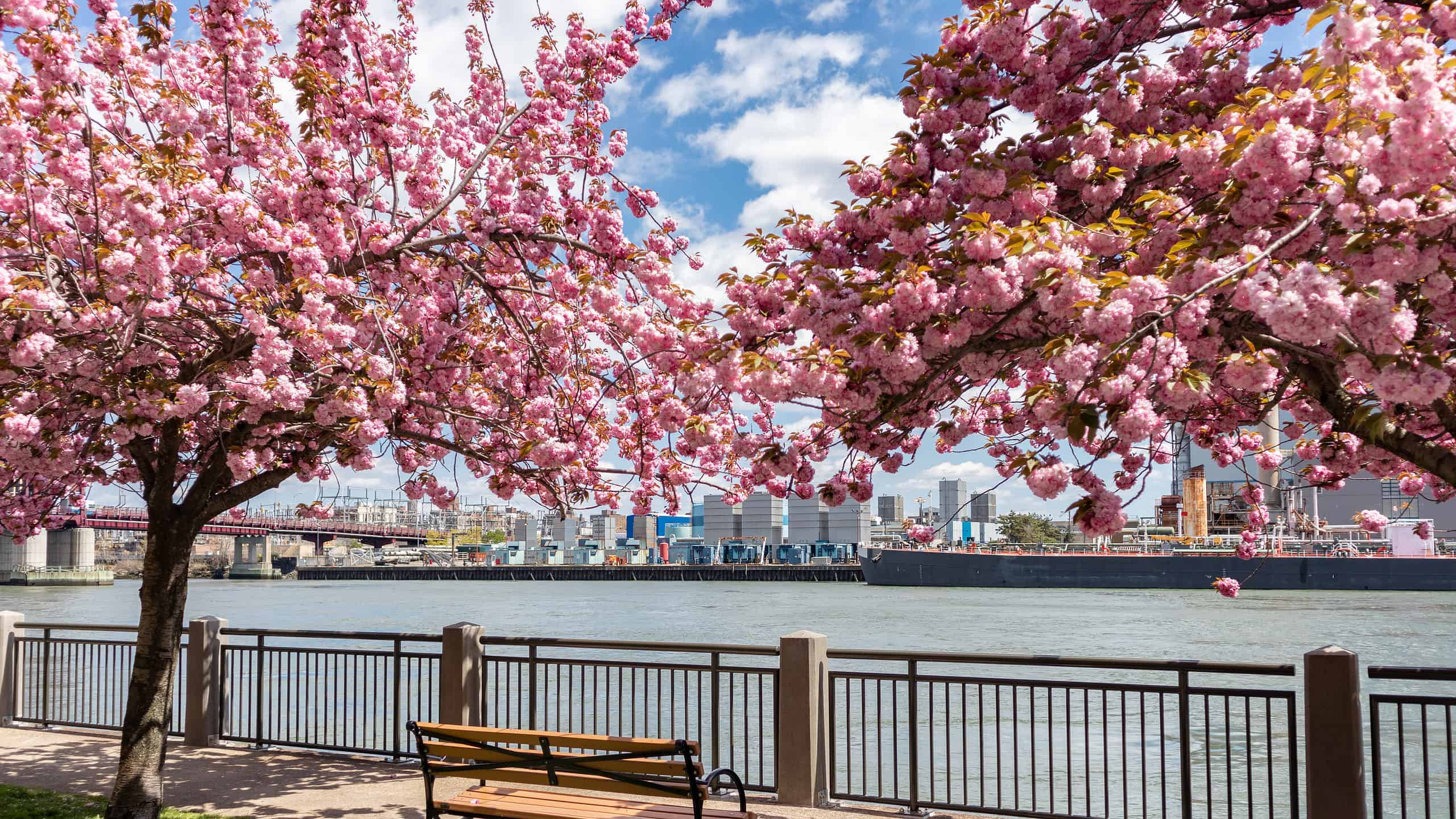
- Roosevelt Island is a narrow, roughly two-mile-long island in the East River between Manhattan and Queens. The Roosevelt Island Operating Corporation describes it as a community of about 12,000 people. Parks, waterfront paths, historic sites, Cornell Tech, and wide-open views toward Manhattan make it feel very different from the city just across the water. Getting there is part of the fun: the Roosevelt Island Tram runs between the island and Manhattan, while the Roosevelt Island Bridge provides the island’s road connection to Queens. Subway, bus, and ferry service provide a few more options if dangling above the East River is not your preferred commute.
5. City Island
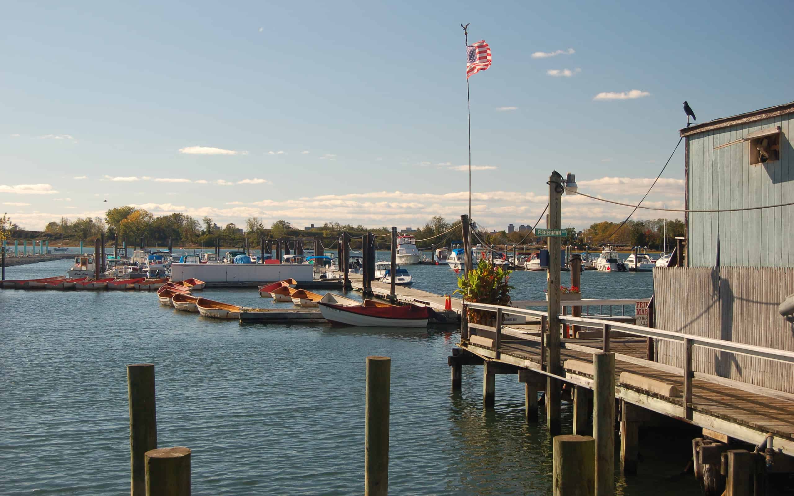
- City Island is part of the Bronx, but it does not look much like the Bronx most visitors have in mind. The small residential island has roughly 4,000 residents and a long maritime tradition built around boating, fishing, marinas, yacht clubs, and seafood restaurants. City Island Avenue runs through the center of the community, while docks and boatyards line much of the waterfront. It is less a tropical beach escape than a New England-style harbor town that somehow ended up inside New York City.
6. North Brother Island
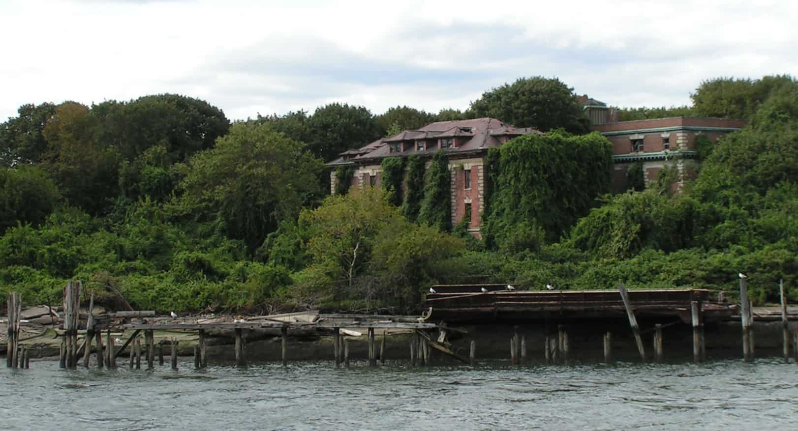
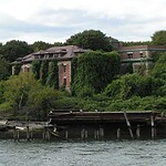
- North Brother Island sits in the East River between the Bronx and Rikers Island. New York City opened Riverside Hospital there in 1885 as an isolation hospital for people with contagious diseases. Over the decades, the complex treated patients with illnesses including smallpox, typhus, tuberculosis, and polio. The hospital buildings were later used for other purposes before the island was abandoned in 1963.
- Mary Mallon, better known as “Typhoid Mary,” is the island’s most famous former resident. Mallon was an Irish-born cook and an asymptomatic carrier of Salmonella Typhi, the bacterium that causes typhoid fever. She was quarantined on North Brother Island from 1907 to 1910, released, and then returned in 1915 after authorities linked her to another outbreak. She remained there until her death in 1938. Estimates of how many infections she caused vary, so the exact toll remains uncertain.
- Today, North Brother Island is managed by the New York City Department of Parks and Recreation as a protected natural area. Its abandoned hospital buildings remain standing among dense vegetation, but the general public is not allowed to visit. The combination of medical history, crumbling architecture, and restricted access has made it one of New York City’s most mysterious places without anyone needing to invent much.
7. South Brother Island
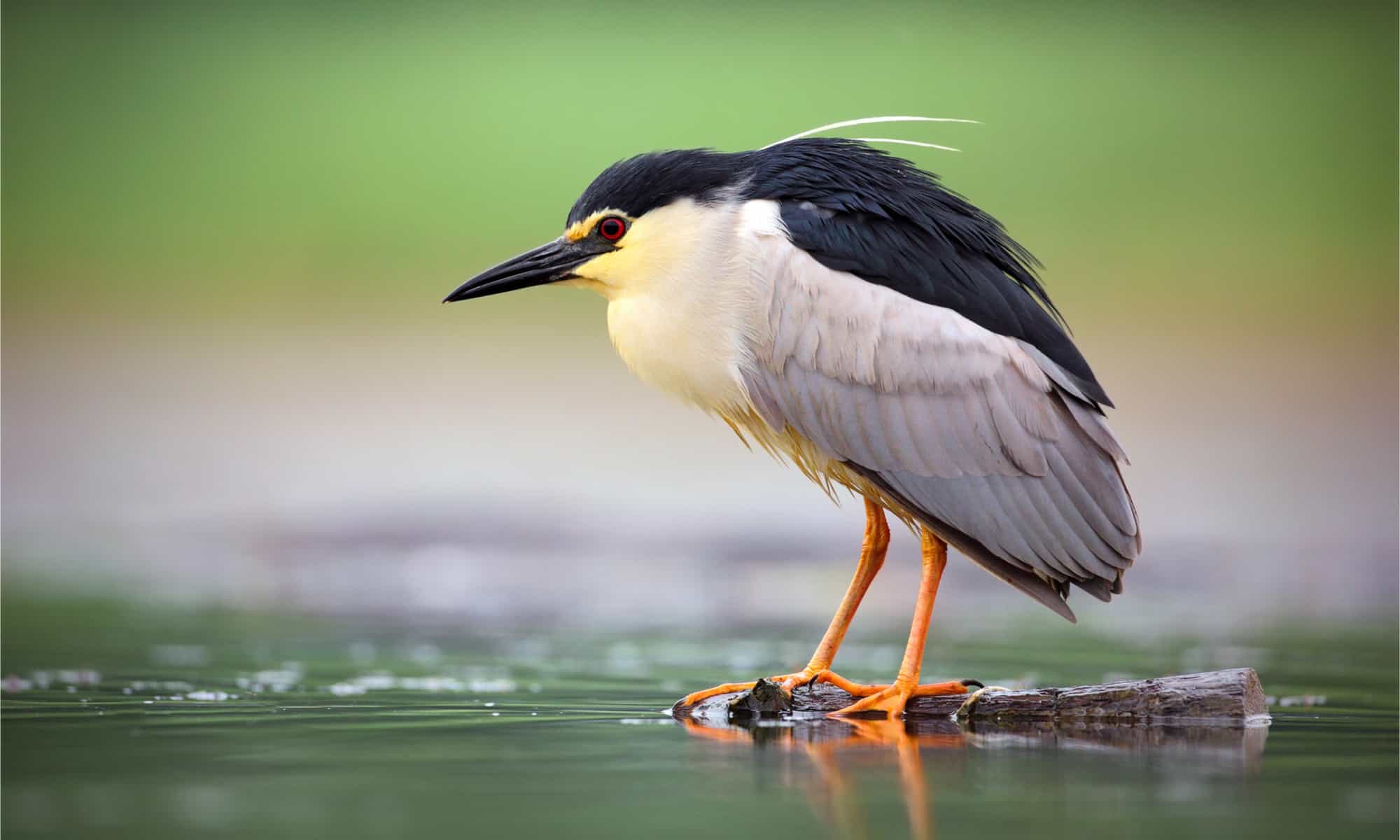
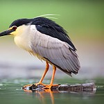
- South Brother Island is North Brother’s smaller, uninhabited neighbor. Brewery owner and future New York Yankees owner Jacob Ruppert owned the island and had a summer home there, but the house burned down in 1909. In 2007, the seven-acre island was transferred to the New York City Parks Department and permanently protected as a wildlife sanctuary. Its dense vegetation provides nesting habitat for birds including black-crowned night herons (Nycticorax nycticorax), great egrets (Ardea alba), snowy egrets (Egretta thula), and double-crested cormorants (Phalacrocorax auritus). Today the birds get the island pretty much to themselves.
8. Long Island
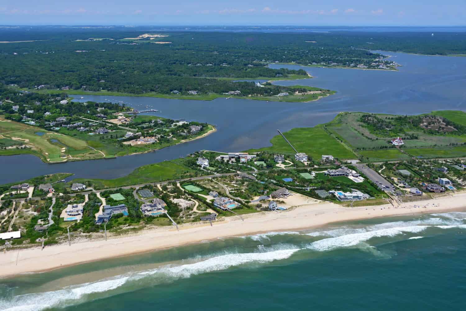
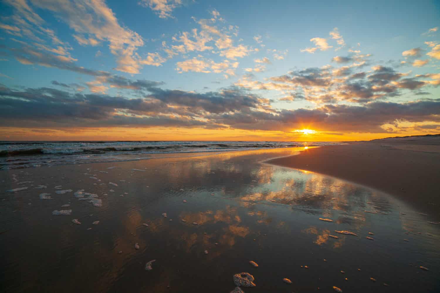
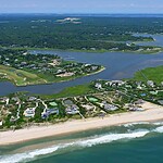
- Long Island stretches east from New York Harbor into the Atlantic and contains an almost absurd range of places, from Brooklyn apartment blocks to quiet North Fork vineyards and Hamptons beaches. Geographically, Brooklyn and Queens occupy the island’s western end, while Nassau and Suffolk counties cover the rest. Together, those four areas had nearly 8 million residents based on 2025 Census estimates. Keep heading east through Suffolk County and you eventually reach Montauk, the island’s famous eastern tip.
9. Fire Island
- Fire Island is a long, narrow barrier island running along the Atlantic side of Long Island. Seventeen communities sit within the boundaries of Fire Island National Seashore, and several hundred people live there through the winter before the population swells dramatically during the summer. One of the island’s defining features is what it lacks: there are no paved roads within the national seashore. Visitors usually arrive by passenger ferry and get around on foot, bicycle where permitted, or water taxi. There are limited road-access points near the eastern and western ends, but much of Fire Island remains delightfully inconvenient to cars.
10. Fishers Island
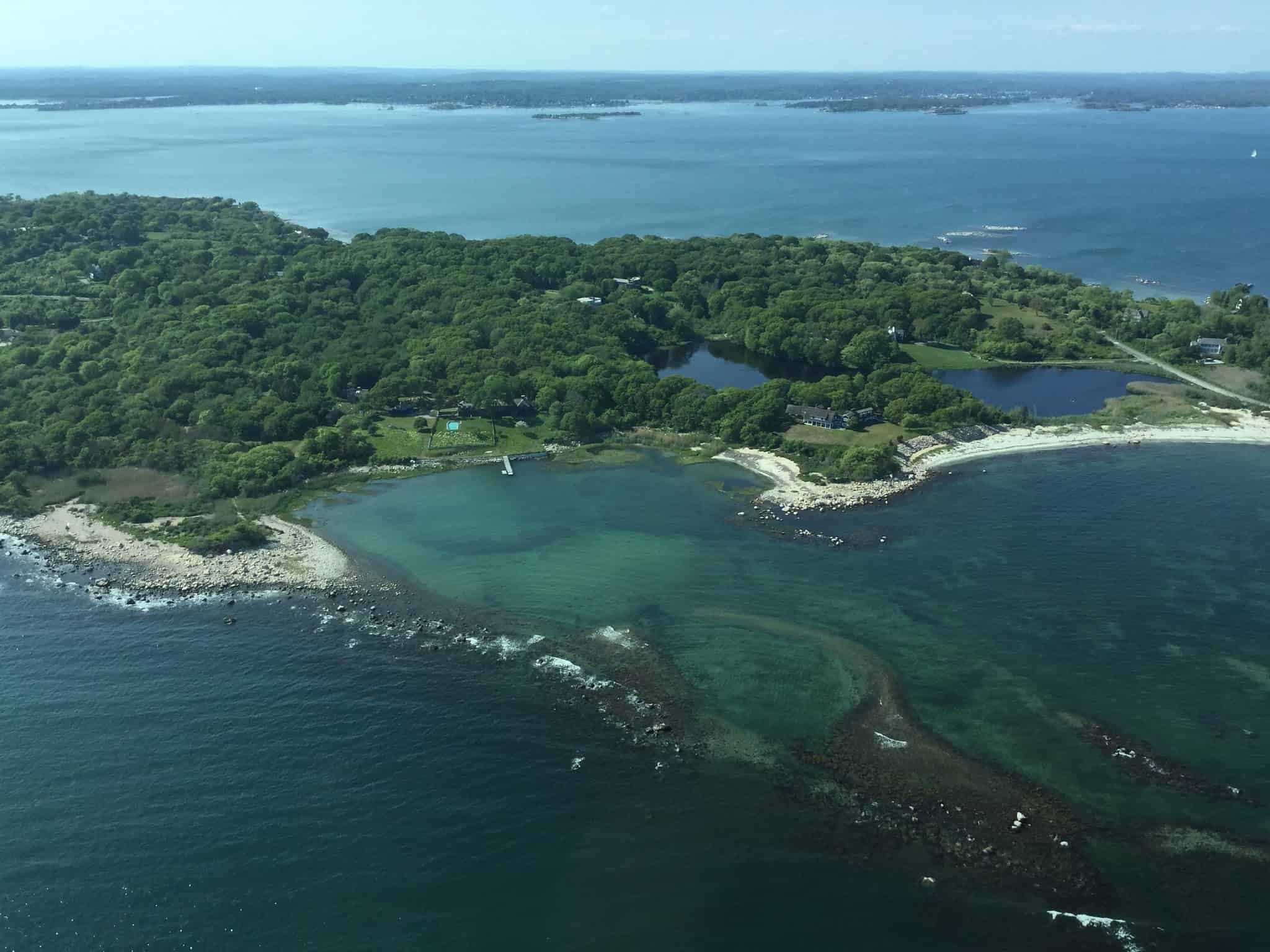
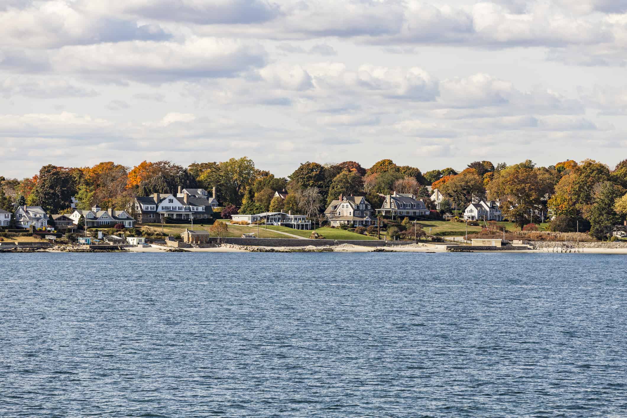
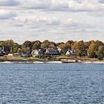
- Fishers Island is part of the Town of Southold, New York, but geographically it sits much closer to Connecticut than to most of Long Island. That odd placement explains the easiest way to get there: the Fishers Island Ferry District operates year-round passenger and vehicle service between the island and New London, Connecticut. The quiet island has a small year-round community, beaches, golf courses, nature areas, and the remains of Fort H.G. Wright, a military installation built as part of the coastal defenses protecting Long Island Sound.
11. Shelter Island
- Shelter Island sits between Long Island’s North and South Forks and contains about 12 square miles of land. The 2020 Census counted 3,253 residents in the town, although the population grows during the summer. There is no bridge to the island. The North Ferry connects Shelter Island with Greenport, while the South Ferry crosses to North Haven. Once there, visitors find wooded roads, beaches, kayaking, biking, and the roughly 2,000-acre Mashomack Preserve. Nearly one-third of the island is protected within the preserve, so there is still plenty of Shelter Island that looks more like nature than Hamptons real estate.
12. Grand Island
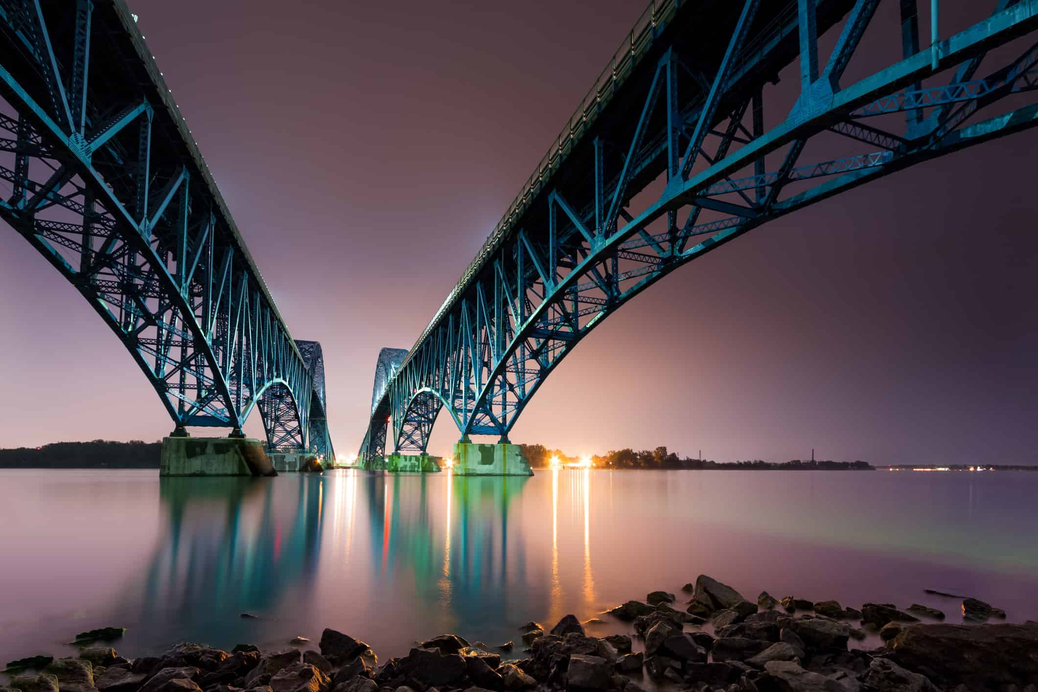
- Grand Island sits in the Niagara River between Buffalo and Niagara Falls. The town had an estimated 21,587 residents in 2025, making this a very different island experience from the remote specks farther down this list. Two major state parks help keep plenty of shoreline green. Beaver Island State Park occupies 950 acres at the southern end of Grand Island, with a beach, marina, trails, golf, and paddling access. Buckhorn Island State Park protects another 895 acres of marshes, meadows, and woods farther north. Niagara Falls is close enough that Grand Island also makes a convenient base for exploring one of New York’s biggest attractions.
13. Thousand Islands
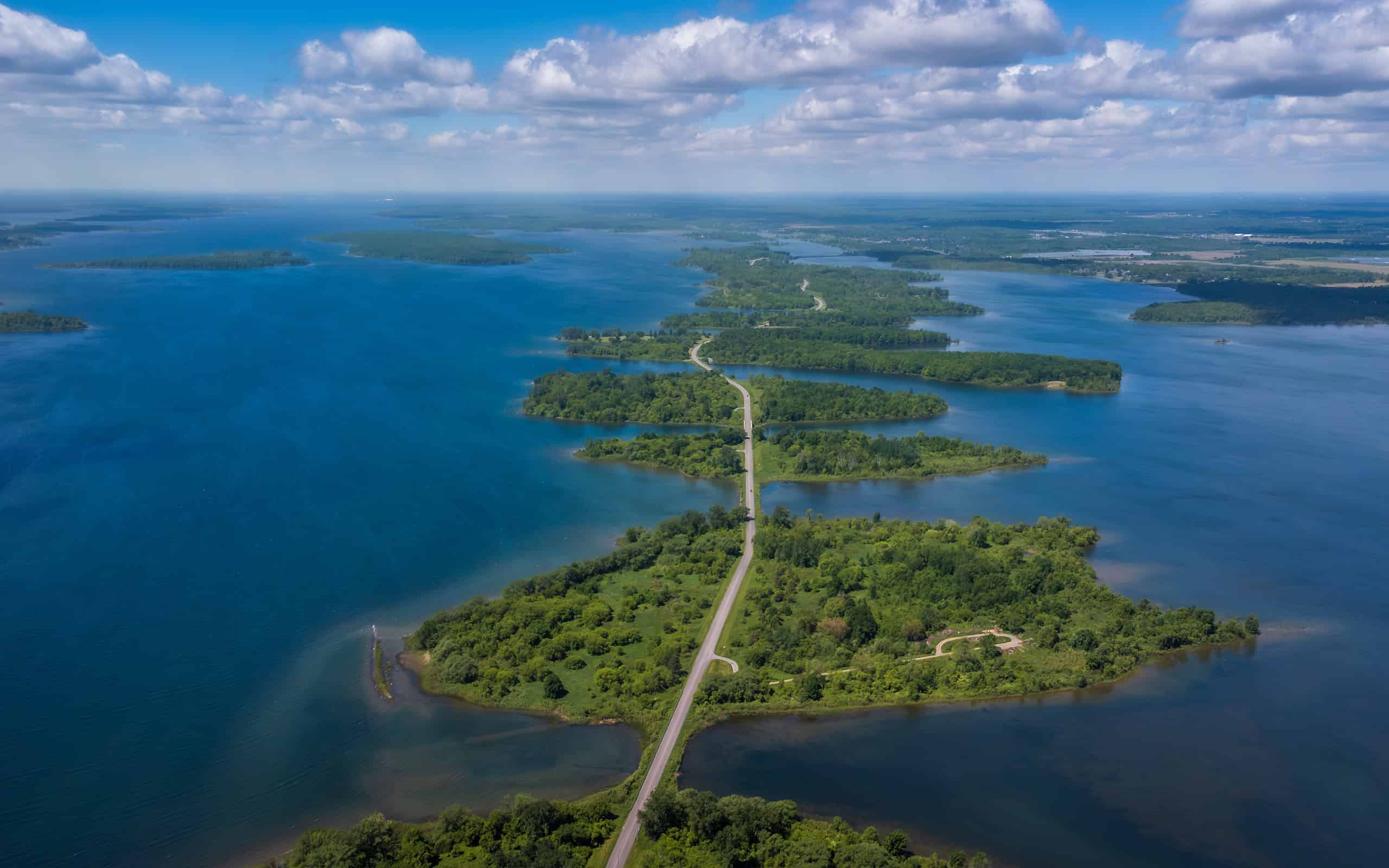
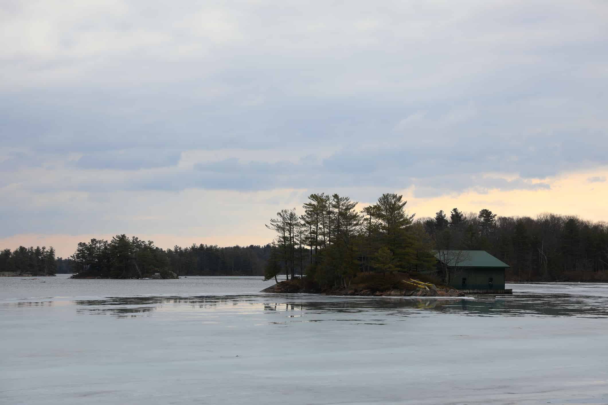
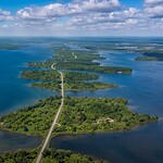
- The Thousand Islands are an archipelago of 1,864 islands in the Saint Lawrence River along the U.S.-Canada border. Islands on the American side belong to New York, while those on the Canadian side are in Ontario. And yes, somebody actually counted them. According to the Thousand Islands International Tourism Council, a piece of land must remain above water all year and support at least one living tree to count as one of the 1,864. The result is a landscape where substantial inhabited islands sit beside tiny scraps of rock barely large enough for that required tree. The next two entries show just how different those islands can be.
14. Wellesley Island
- Wellesley Island is one of the larger American islands in the Thousand Islands region, and much of its visitor appeal revolves around Wellesley Island State Park. New York State Parks calls it the largest camping complex in the Thousand Islands, with 432 campsites. The park also has a marina, four boat launches, a swimming beach, hiking trails, fishing, and the Minna Anthony Common Nature Center. It is the kind of place where the Saint Lawrence River is not just scenery in the background. It is basically the whole point of the trip.
15. Just Room Enough Island
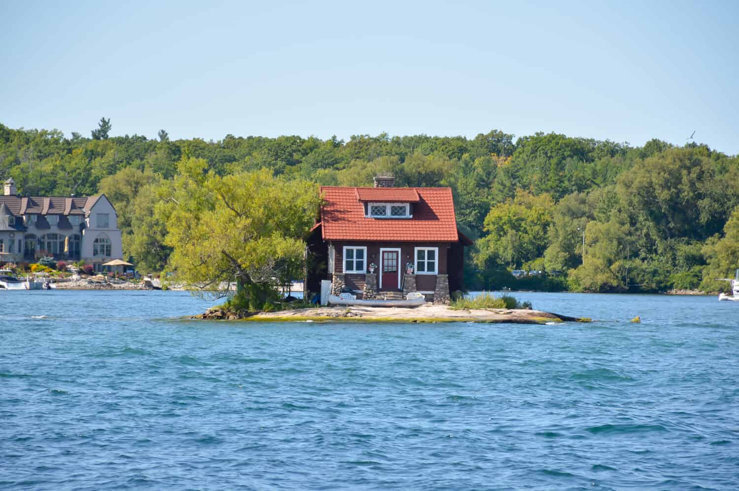
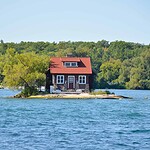
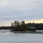
- Just Room Enough Island, also known as Hub Island, sits on the New York side of the Thousand Islands near Alexandria Bay. It is often described as the world’s smallest inhabited island, although that is more of a popular distinction than an official international title. Its area is commonly estimated at roughly 3,300 square feet, leaving room for a house, one prominent tree, shrubs, and a tiny strip of shoreline. The Sizeland family purchased it in the 1950s as a private getaway. Under the regional convention used to count the Thousand Islands, an island must stay above water year-round and support at least one living tree. Just Room Enough clears both requirements, but not by much.