Flywheel Publishing
Christine Wolf Gagne/iStock via Getty Images

issaro prakalung / Shutterstock.com
Triff/Shutterstock.com

Saeima / Wikimedia Commons
Popartic/Shutterstock.com
Leonard Zhukovsky/Shutterstock.com
ehrlif/Shutterstock.com

Vincent Legrand/Shutterstock.com
Harvepino/Shutterstock.com
pius99/iStock.com
Wead/Shutterstock.com
Marina Datsenko/Shutterstock.com
saiko3p/Shutterstock.com
R.M. Nunes / iStock via Getty Images
Tomasz Raczek/iStock via Getty Images
AlexAnton/Shutterstock.com
Peter Hermes Furian/Shutterstock.com
anek.soowannaphoom/Shutterstock.com
zetter/iStock / Getty Images Plus via Getty Images
Chalabala/iStock via Getty Images
Harvepino/iStock via Getty Images
vetre/Shutterstock.com
SNEHIT PHOTO/Shutterstock.com
SWCargill / iStock via Getty Images
SWCargill / iStock via Getty Images
con4tini / Flickr
TUBS / CC BY-SA 3.0
mshady1/Shutterstock.com
Sergii Figurnyi/Shutterstock.com
Antonio Batinic/Shutterstock.com
Rainer Lesniewski/ via Getty Images
LouieLea/Shutterstock.com
au_uhoo/Shutterstock.com
hamzahstudio/Shutterstock.com
Aris Group/Shutterstock.com






15 Geography Questions That Sound Easier Than They Are
Geography has a funny way of looking easy until someone takes away the map. Most of us know the world's biggest countries, famous cities, and major landmarks when we see them. Remembering exactly where they are, which capital belongs to which country, or which geographic record belongs to which place can be a different story.
These 15 questions start simple and get a little trickier as you go. Some are basic map knowledge, while others involve facts that are commonly confused or have changed over time. See how many you can answer before revealing the next slide.
We Have More Maps Than Ever
Finding a place on Earth has never been easier. A phone can show us a satellite view, plot a route across another country, or tell us exactly how far away a city is in seconds. That convenience does not necessarily mean we keep all of that information in our heads. Geography quizzes are a good reminder of the difference between recognizing a place when it appears on a screen and being able to locate or describe it without help.
Geography Is Hiding in Everyday Life
Geography is much more than memorizing a map for a school test. Weather systems cross borders, ships follow global trade routes, airplanes take advantage of geography and winds, and conflicts thousands of miles away can affect energy prices or supply chains at home. Knowing where places are makes it much easier to understand why events in one part of the world can matter somewhere completely different.
The Obvious Answer Is Not Always the Right One
Geography is full of questions that seem obvious until you stop and think about them. Australia's capital is not Sydney. Egypt is in Africa even though the Sinai Peninsula extends into Asia. The country with the most famous pyramids is not necessarily the one associated with the world's most extensive pyramid field. Those little twists are what make a good geography quiz more interesting than simply naming places on a blank map.
Geography Helps Explain Why Countries Matter
Where a country sits can shape almost everything from its economy to its security. Mountains can form natural barriers, rivers can support agriculture and transportation, ports can turn cities into trade centers, and access to neighboring markets can transform entire regions. Geography does not determine history by itself, but it sets the stage on which a surprising amount of history happens.
15 Questions, No Map Allowed
There is no prize for getting all 15 right, other than the ability to become mildly insufferable the next time geography comes up at trivia night. Try answering each question before moving to the following slide. We will start with a few easy ones before getting into the questions that tend to trip people up.
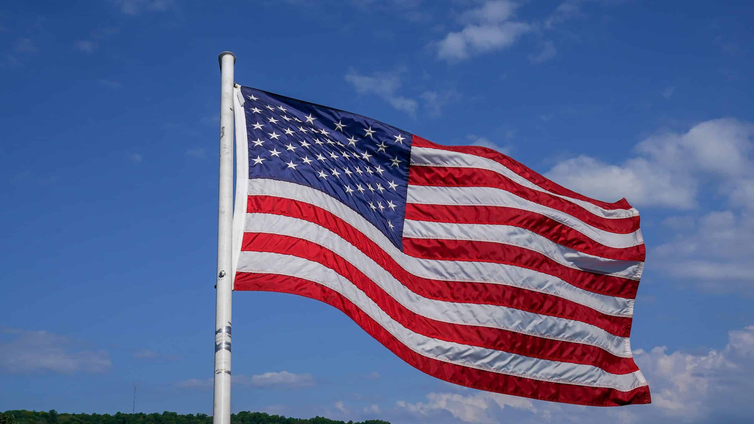
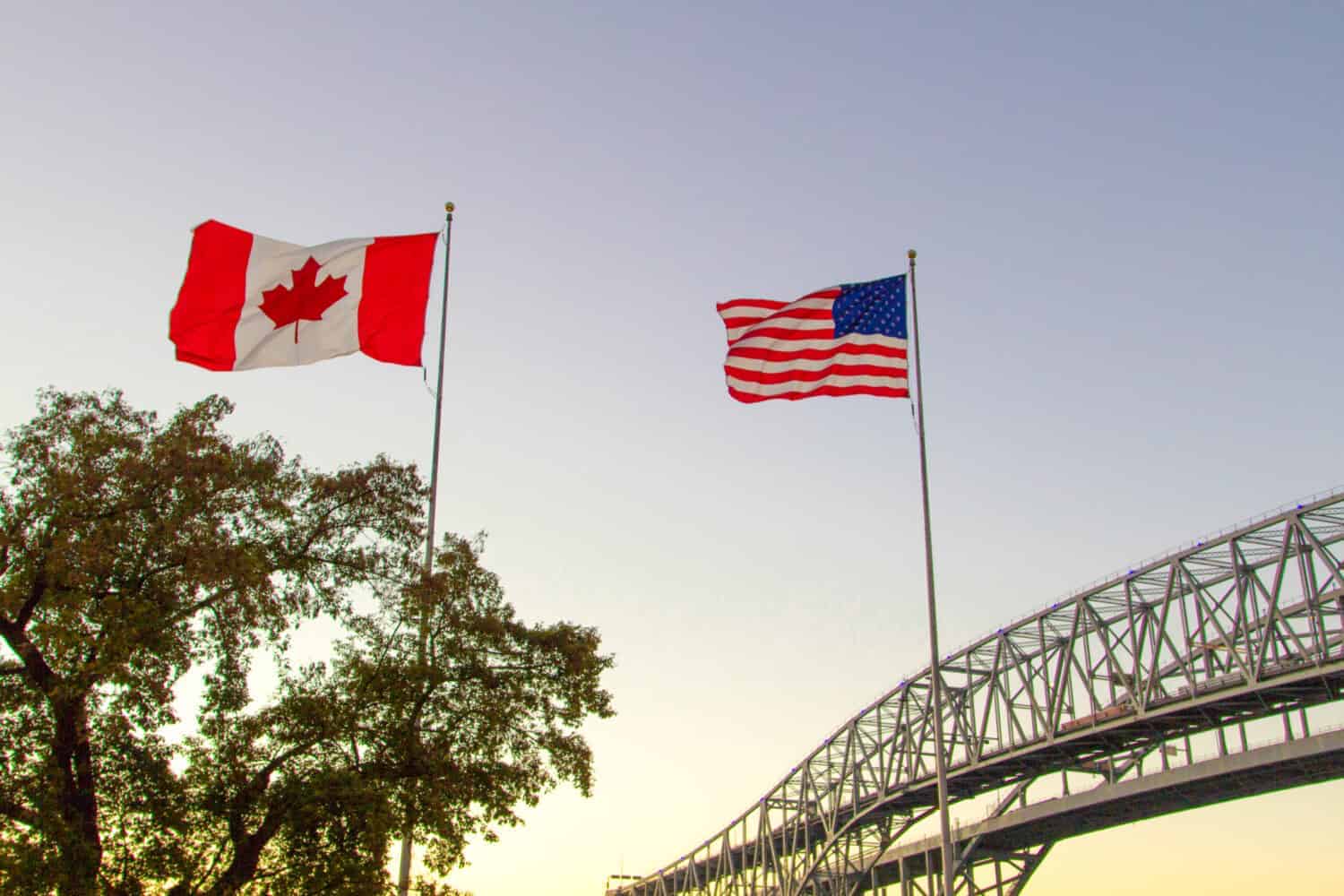
#1 What Country Shares the United States' Northern Border?
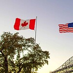
Hint: Maple leaves should make this one considerably easier.
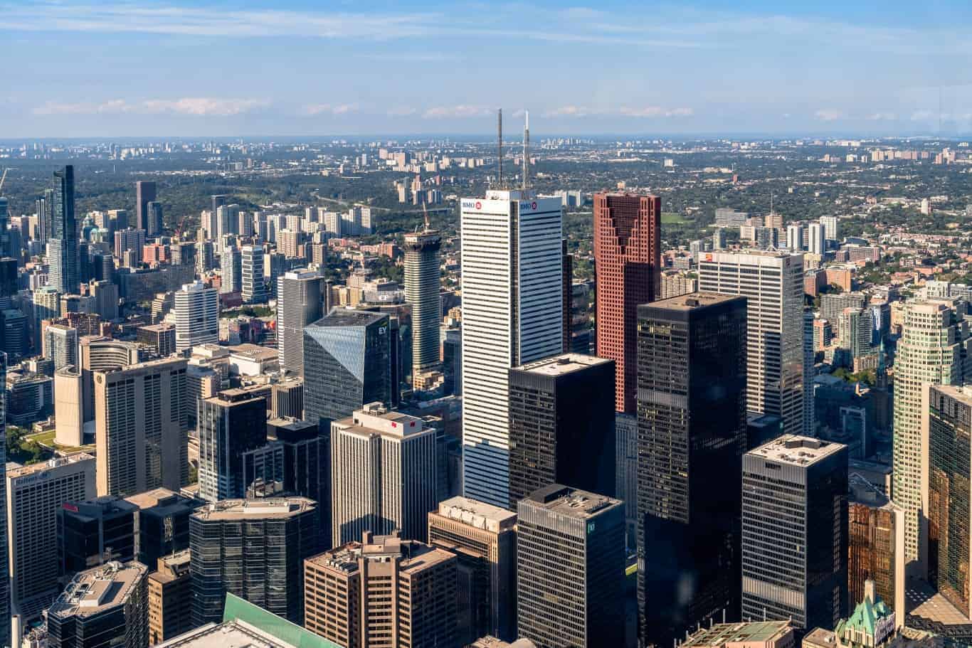
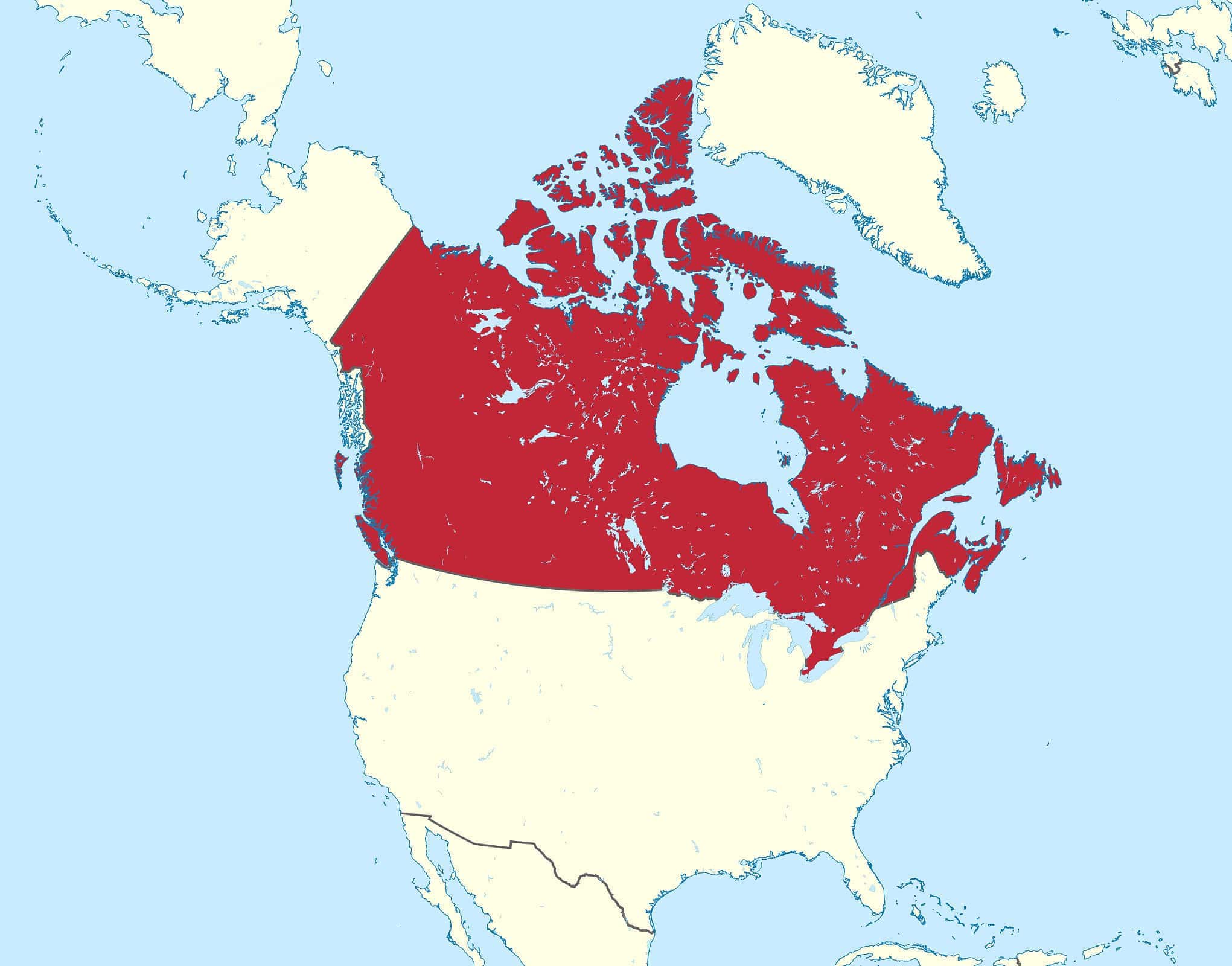
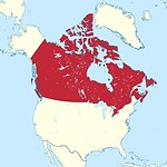
#1 Canada
Canada shares the United States' northern international boundary, including the enormous section separating Alaska from Canada. Altogether, the Canada-U.S. boundary measures 8,891 kilometers, or 5,525 miles, according to the International Boundary Commission. It crosses land, rivers, lakes, forests, mountains, and other terrain from the Atlantic and Pacific regions to the Arctic. Canada is also the world's second-largest country by total area, behind only Russia, which helps explain just how enormous that shared boundary really is.
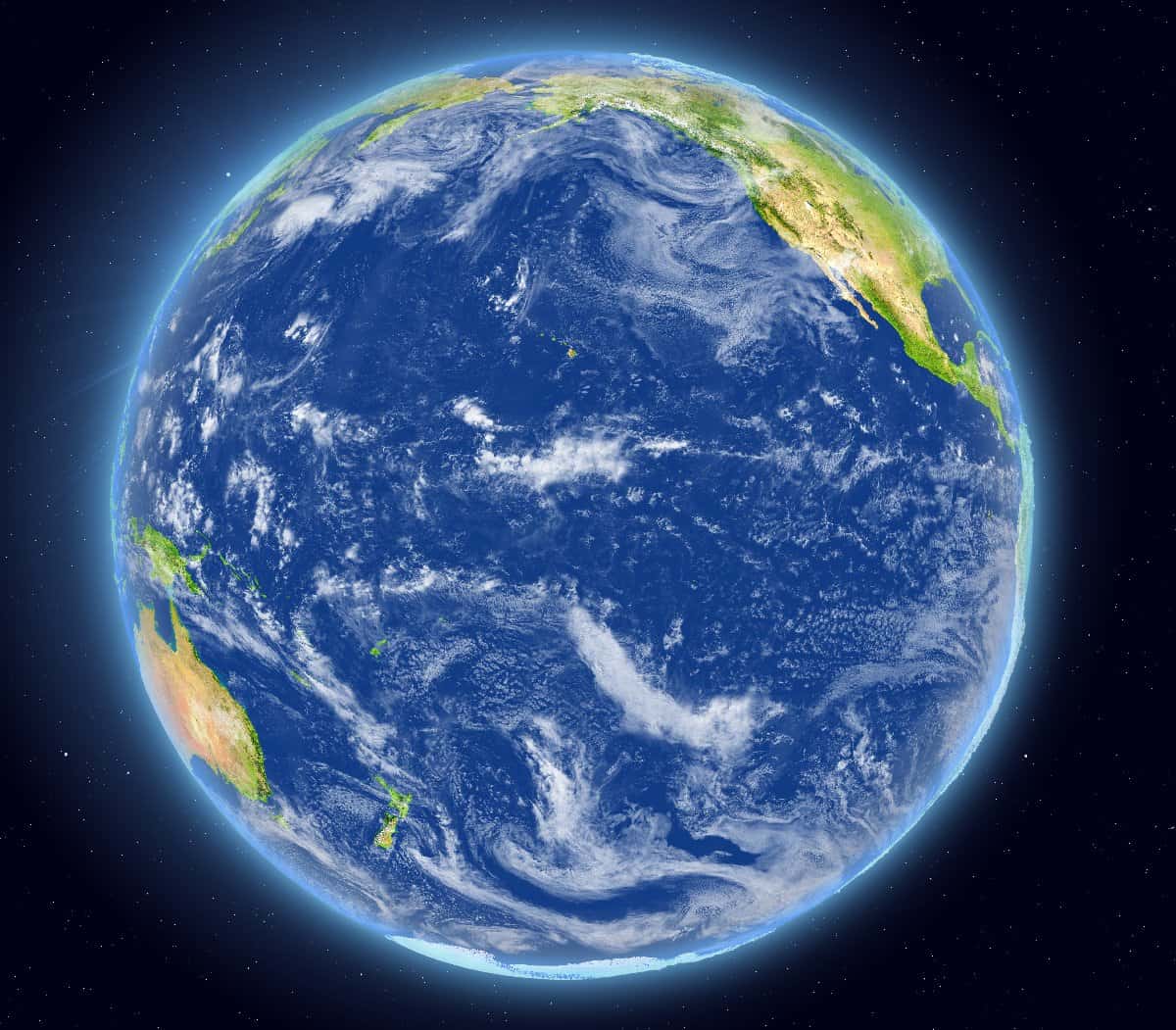
#2 What Is the Largest Ocean on Earth?
Hint: It touches the western coast of the United States, and it is absolutely enormous.
#2 The Pacific Ocean
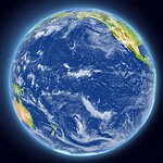
The Pacific is both the largest and deepest ocean basin on Earth. NOAA puts its area at more than 60 million square miles, or roughly 155 million square kilometers. It is so large that all of Earth's continents could fit inside the Pacific basin. It is also home to the Mariana Trench and Challenger Deep, the deepest known point in the ocean. The Pacific stretches between Asia and Australia on one side and North and South America on the other, covering nearly one-third of Earth's entire surface.
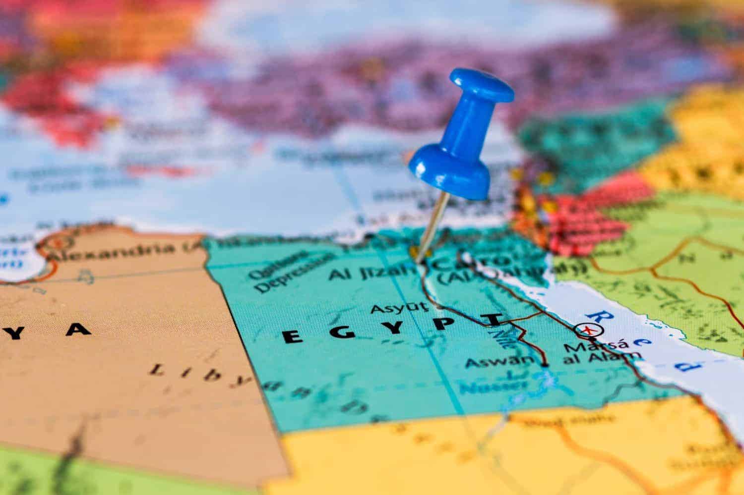
#3 What Continent Is Egypt Located On?
Hint: Most of Egypt is on one continent, but a small part of the country complicates the answer.
#3 Africa
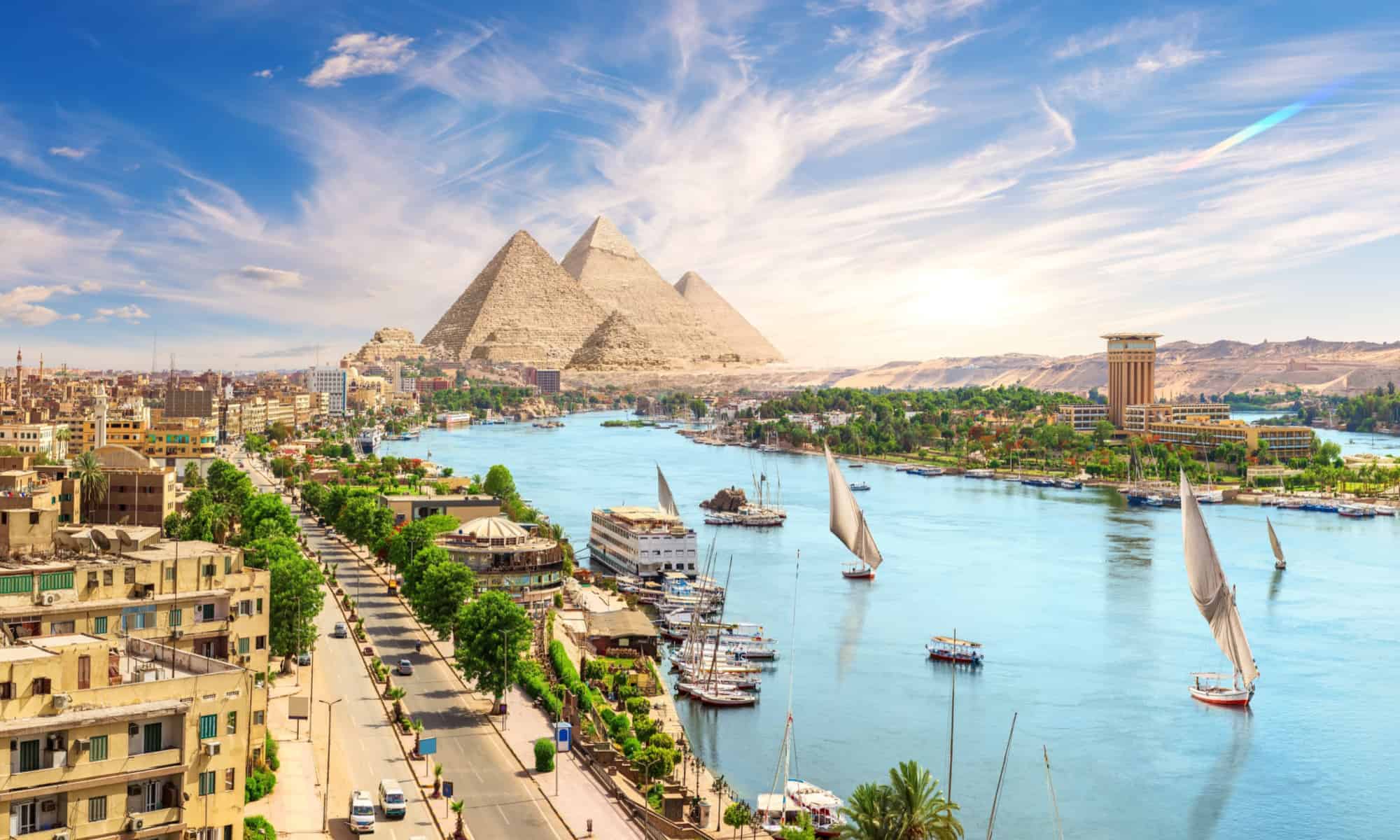
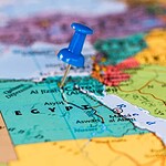
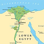
Egypt is primarily located in northeastern Africa. The reason this question sometimes causes hesitation is the Sinai Peninsula, which lies east of the Suez Canal and is geographically part of Asia. That makes Egypt a transcontinental country, but the overwhelming majority of its territory and population are in Africa. Its location between Africa, Asia, the Mediterranean, and the Red Sea has helped make Egypt a strategic crossroads for trade and migration for thousands of years.
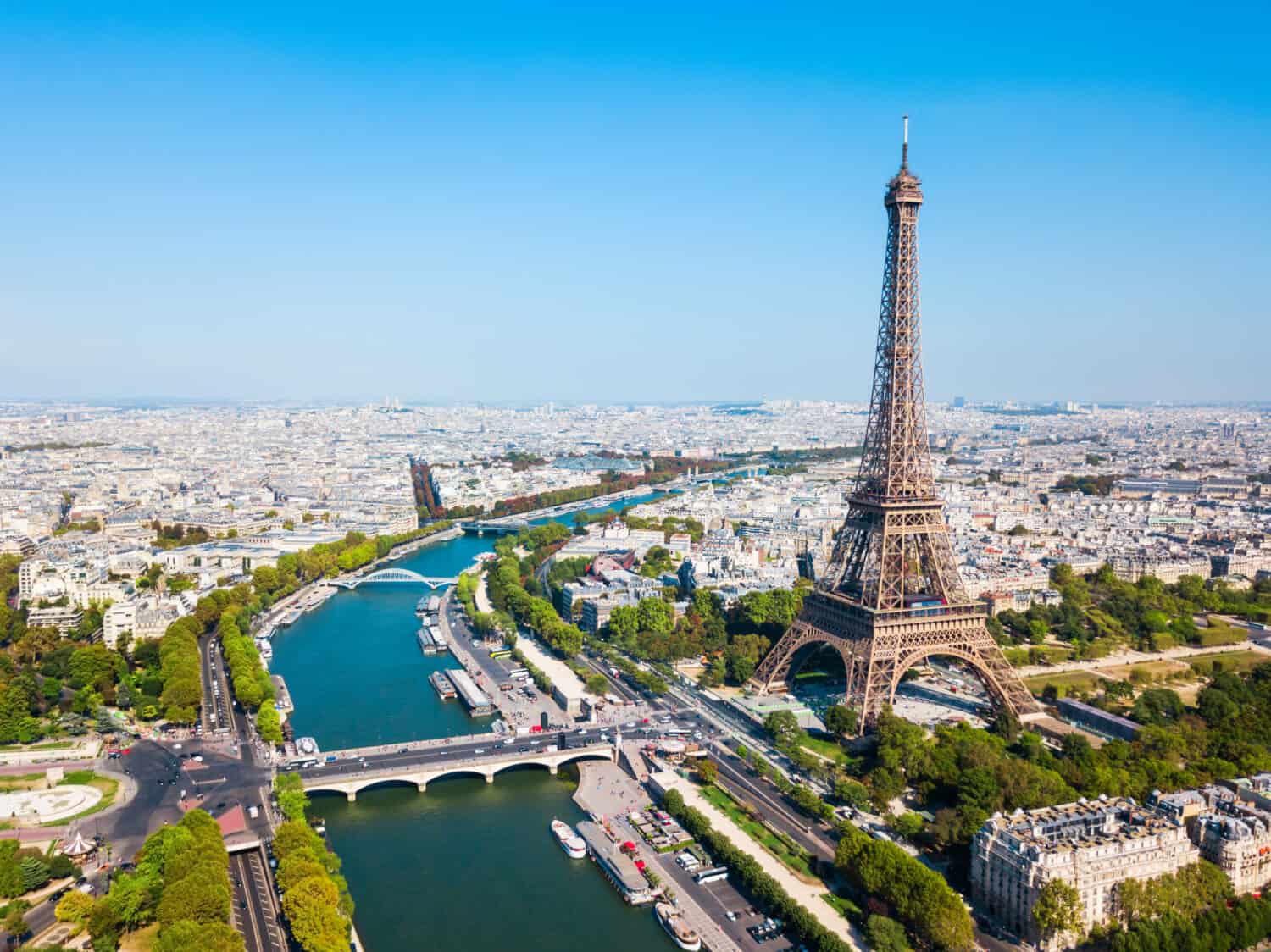
#4 What Is the Capital of France?
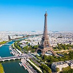
Hint: There is a very famous iron tower involved.
#4 Paris
Paris is the capital of France and the country's political, cultural, and economic center. The city sits along the Seine River and is home to France's national government as well as landmarks including the Eiffel Tower, the Louvre, Notre-Dame Cathedral, and the Arc de Triomphe. Paris has played an outsized role in European history, from the French Revolution to the development of modern art, fashion, architecture, and diplomacy. If you missed this one, the remaining 11 questions may be a long afternoon.
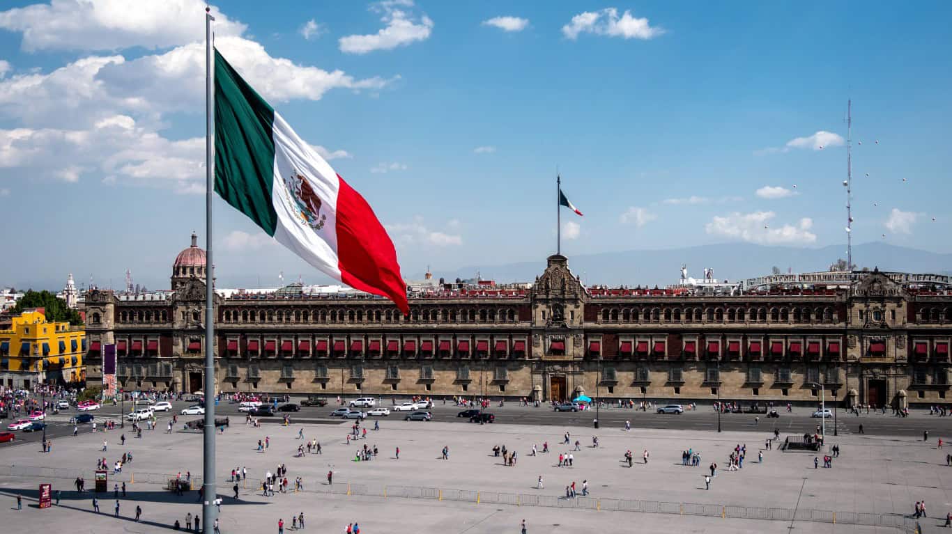
#5 Which Country Borders the United States to the South?
Hint: Look directly below California, Arizona, New Mexico, and Texas.
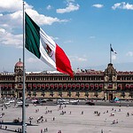
#5 Mexico
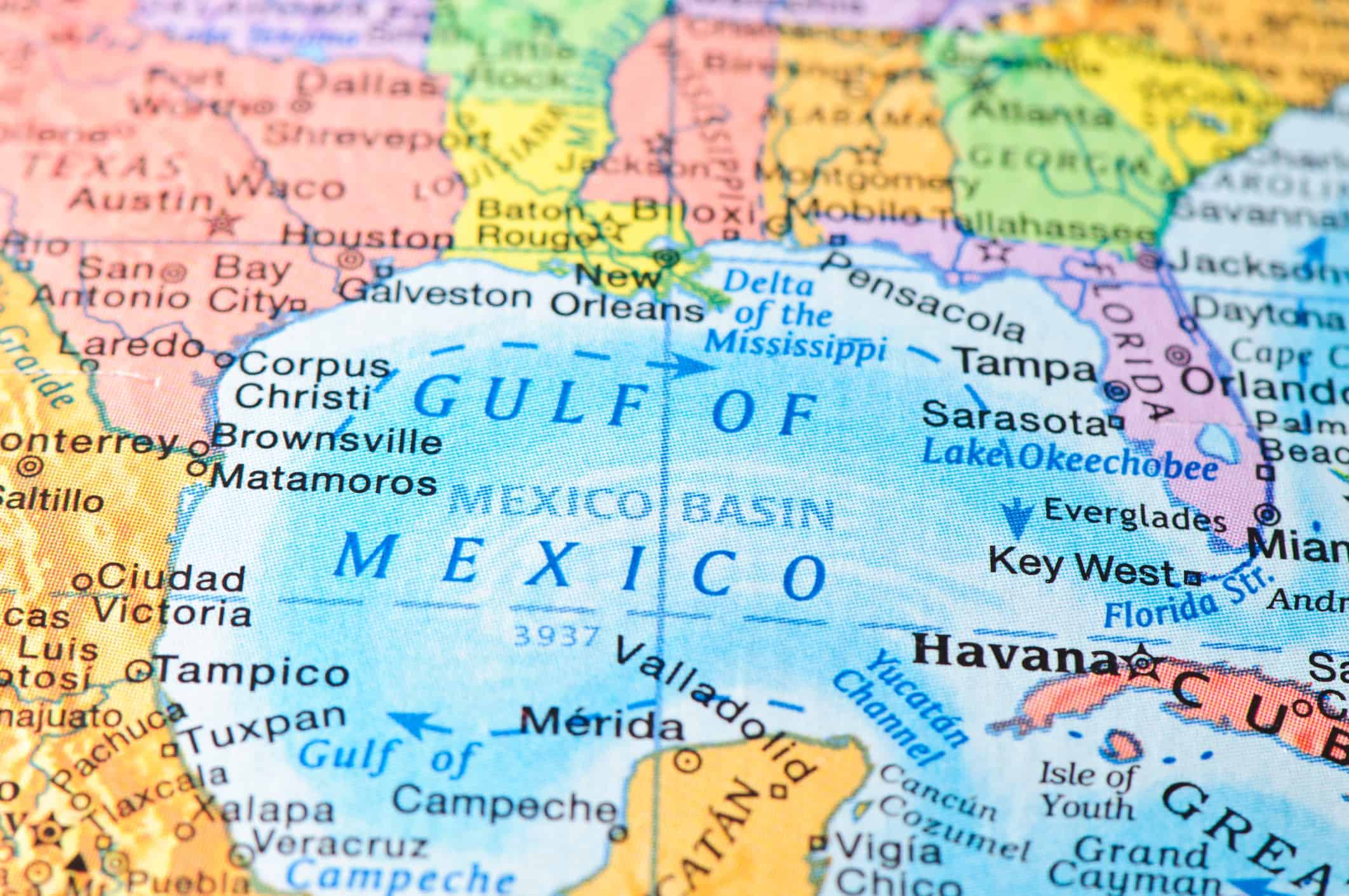
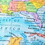
Mexico shares roughly 2,000 miles of international border with the United States, running from the Pacific Ocean to the Gulf of Mexico. California, Arizona, New Mexico, and Texas all touch Mexico, while six Mexican states meet the United States on the opposite side. The geography matters enormously because the boundary connects two major economies through trade, manufacturing, tourism, families, and daily cross-border travel. Mexico is part of North America, a fact that occasionally trips people up when they mentally group the country with Central or South America.
#6 What Famous River Runs Through Egypt?
Hint: It flows north, which is where this question sometimes messes with people's heads.
#6 The Nile River
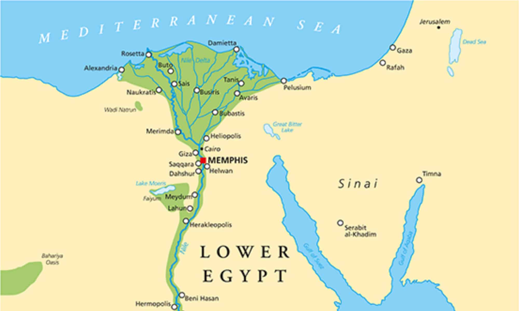
The Nile runs north through Egypt before emptying into the Mediterranean Sea. The U.S. Geological Survey lists it at about 4,132 miles long. For ancient Egypt, seasonal Nile flooding deposited fertile sediment along the river valley and helped support agriculture in an otherwise extremely dry landscape. The modern river is much more heavily controlled, particularly since completion of the Aswan High Dam in the 20th century. Even today, most of Egypt's population is concentrated close to the Nile Valley and Delta, making the river one of the clearest examples of geography shaping an entire civilization.
#7 What Is the Capital of Australia?
Hint: It is not Sydney, and it is not Melbourne.
#7 Canberra
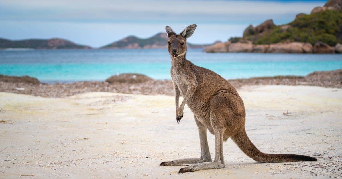
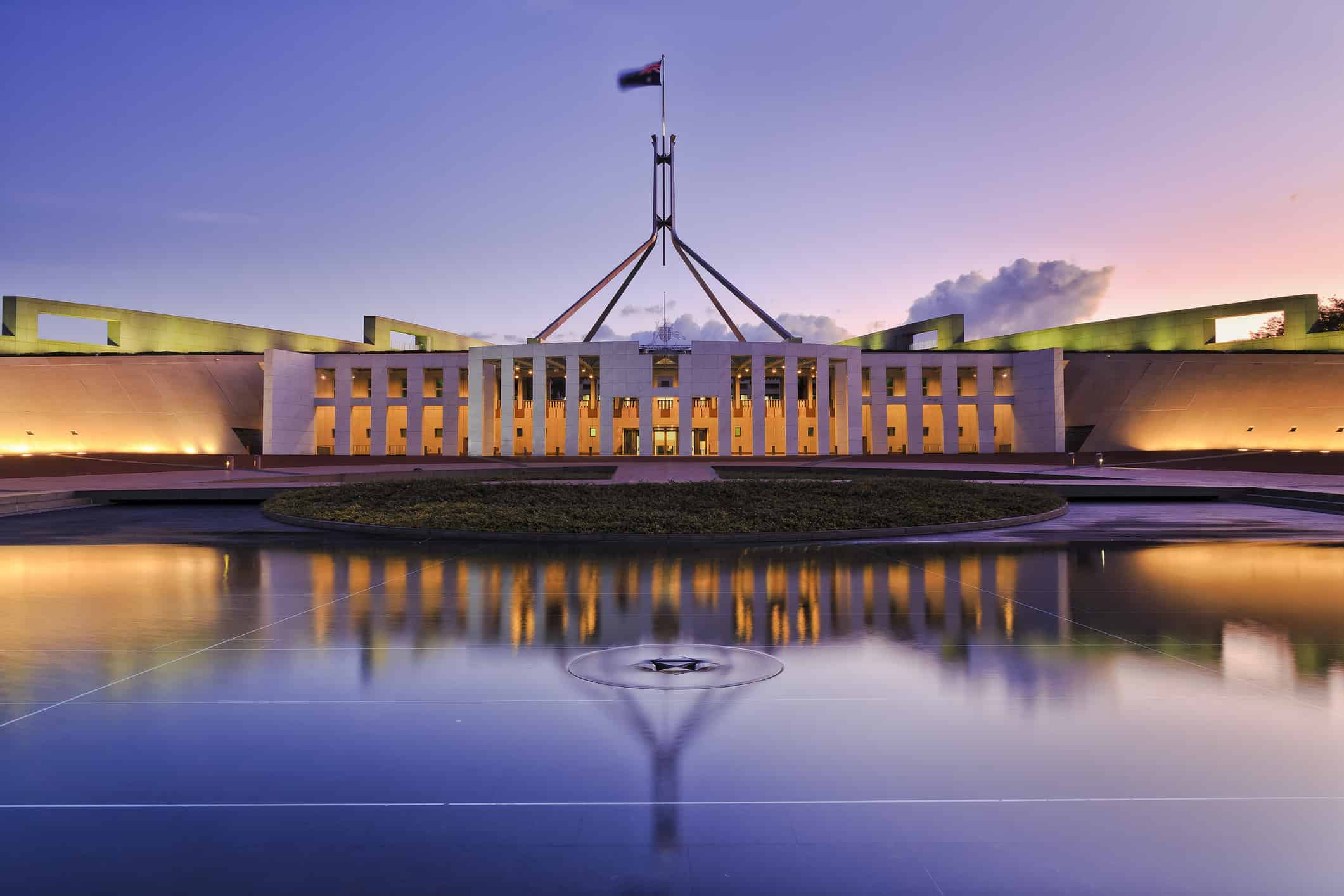
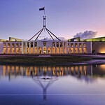
Canberra is Australia's capital. Sydney and Melbourne both wanted the honor after Australia federated in 1901, so the Constitution required the new federal capital to be in New South Wales but at least 100 miles from Sydney. Parliament selected the Yass-Canberra district in 1908, and the city was officially named Canberra in 1913. It was then deliberately developed as a national capital rather than simply choosing one of Australia's existing major cities. That history is why Sydney can be far more famous internationally while Canberra is where Australia's Parliament and federal government are based.
#8 Which Continent Is Home to the Sahara Desert?
Hint: The Sahara stretches across the northern portion of this continent.
#8 Africa
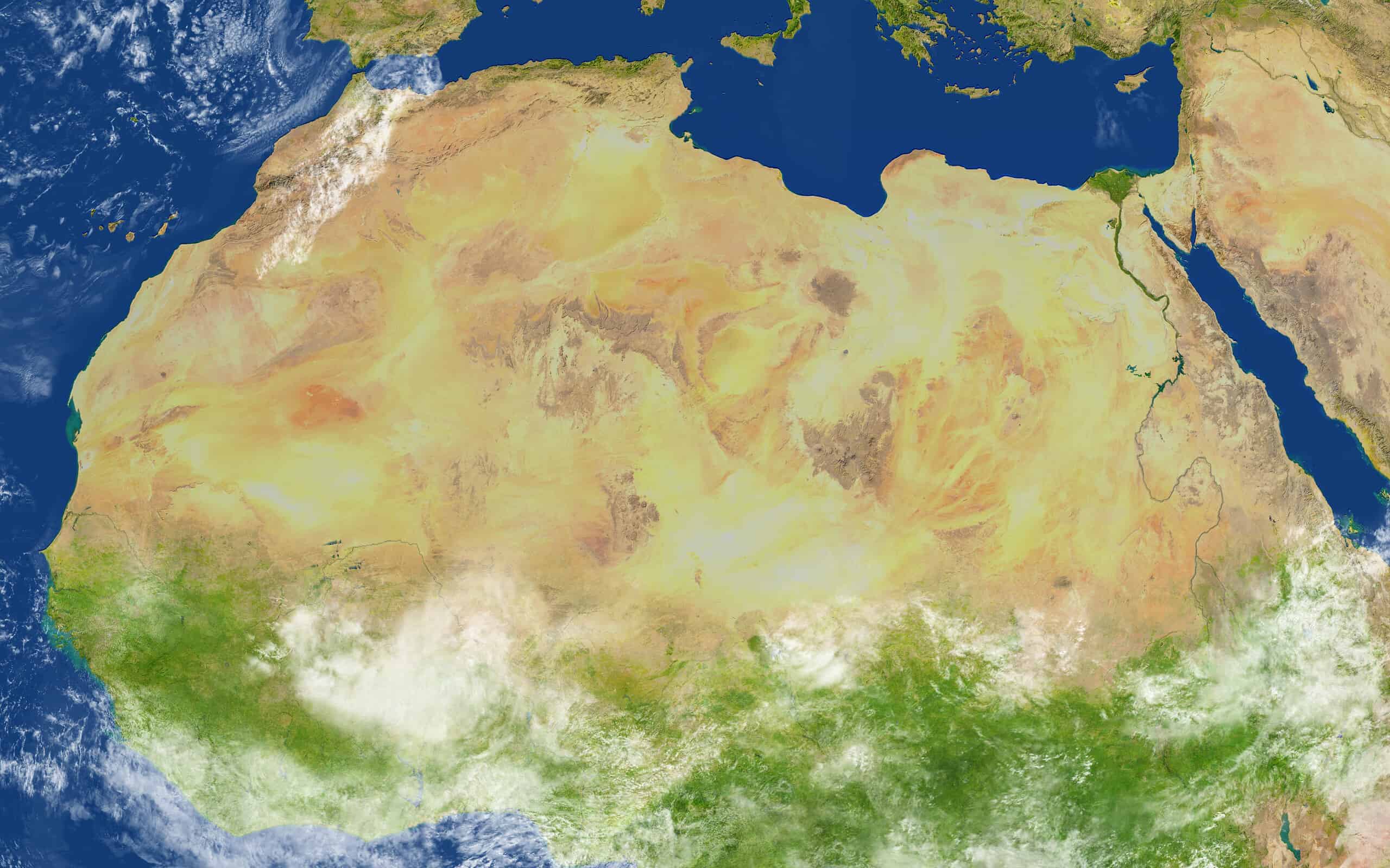
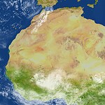
The Sahara stretches across northern Africa and is the largest hot desert on Earth. It reaches from the Atlantic side of Africa toward the Red Sea and covers portions of numerous countries. One common misconception is that the Sahara is essentially one gigantic sea of sand. Huge dune fields certainly exist, but much of the region consists of rocky plateaus, gravel plains, mountains, dry valleys, and other landscapes. Antarctica is technically the world's largest desert overall because deserts are defined by low precipitation, but the Sahara holds the title when we are talking about hot deserts.
#9 Which Country Has the World's Largest Population?
Hint: It overtook China in 2023.
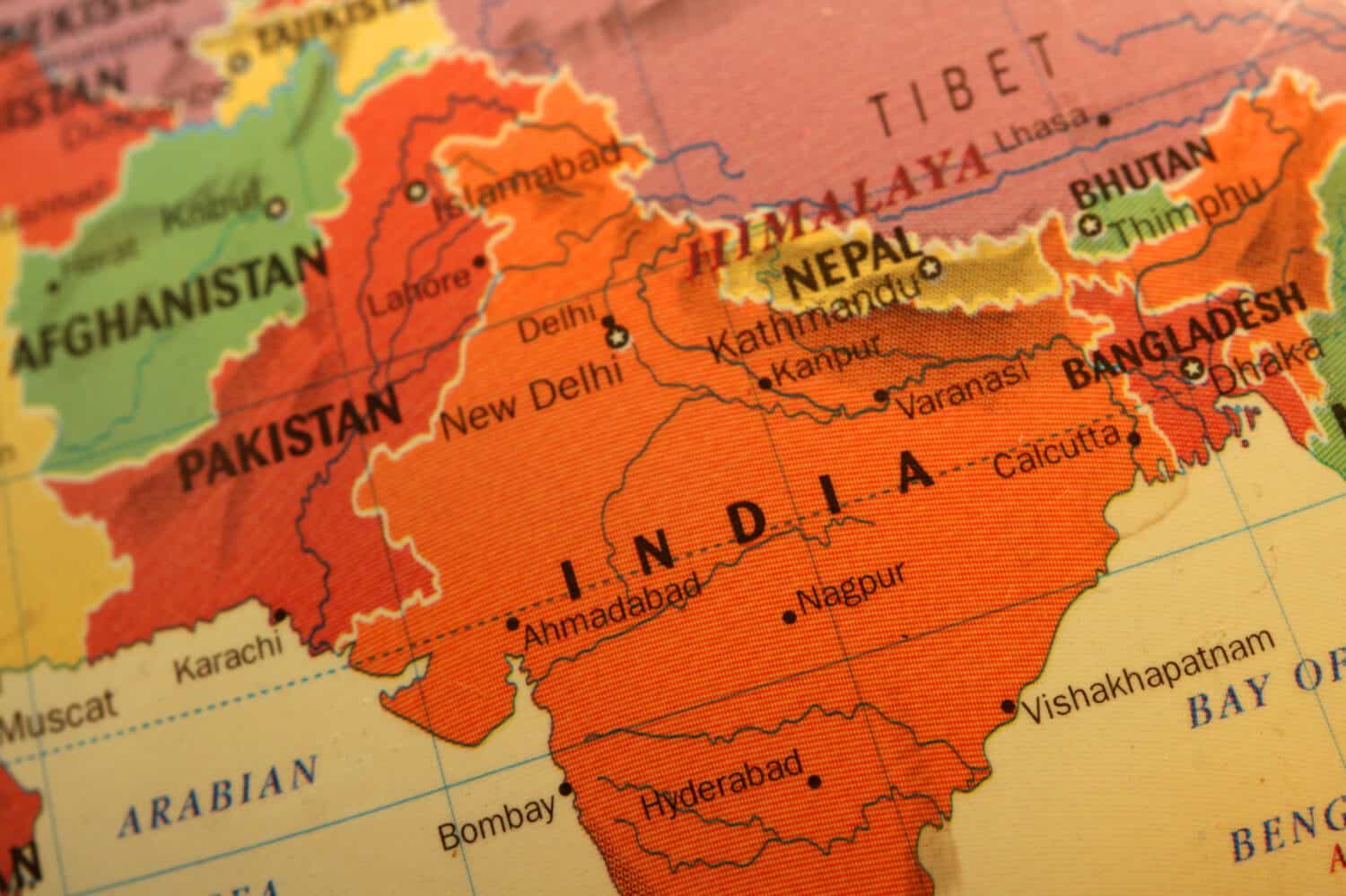
#9 India
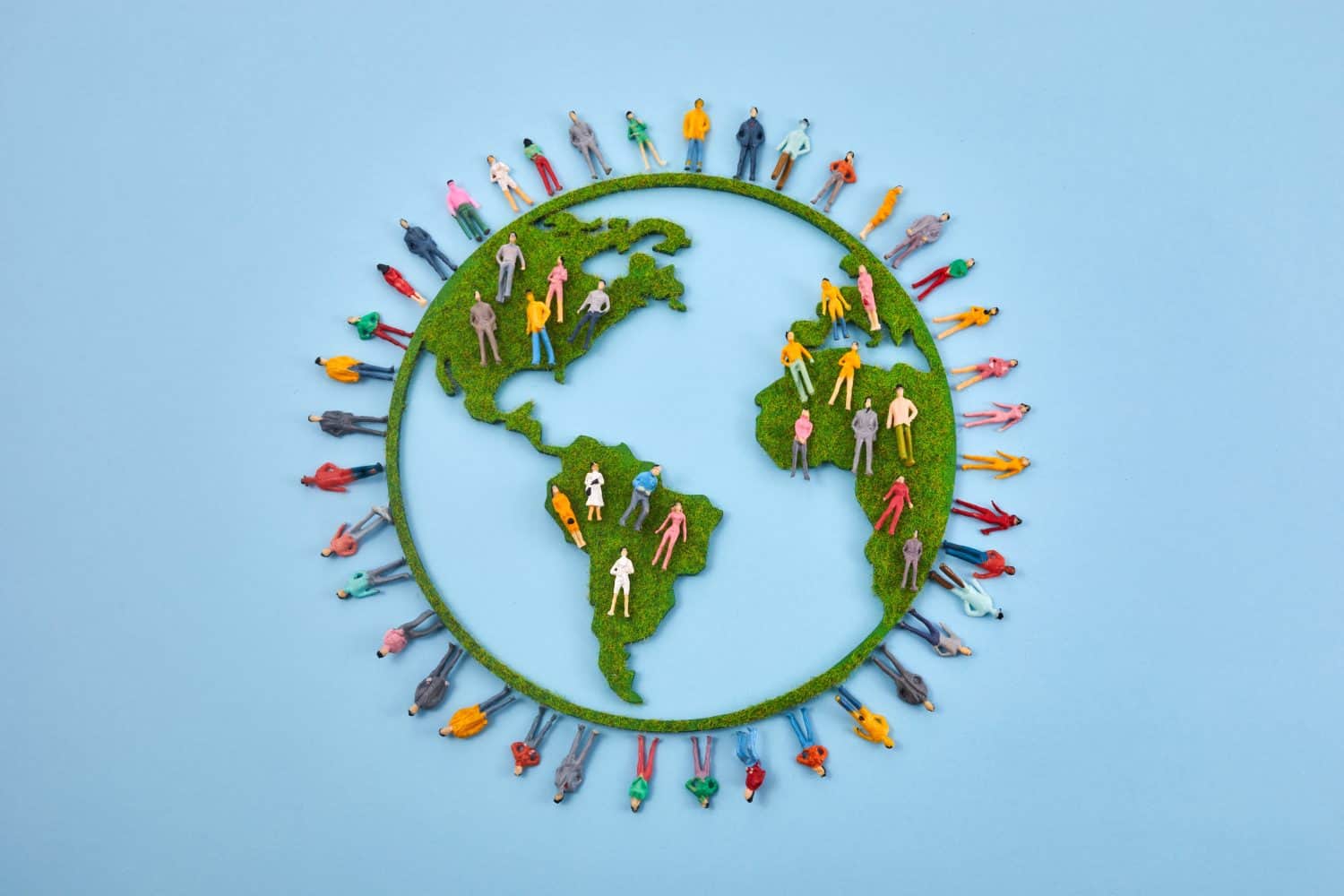
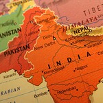
India surpassed China as the world's most populous country in 2023 and remains in the top spot. United Nations data put India's population at about 1.464 billion in 2025, with the country's population still growing while China's has begun declining. That demographic shift matters far beyond trivia. India has an enormous and relatively young labor force, rapidly expanding cities, and growing influence in manufacturing, technology, trade, and international politics. For anyone who learned for decades that China was No. 1, this is one geography answer that genuinely changed.
#10 What Mountain Range Is Commonly Used as Part of the Boundary Between Europe and Asia?
Hint: The range runs for roughly 1,550 miles through western Russia.
#10 The Ural Mountains
The Ural Mountains run roughly north to south for about 2,500 kilometers, or 1,550 miles, through western Russia and are commonly used as part of the conventional boundary between Europe and Asia. That boundary is not a tectonic wall separating two different landmasses. Europe and Asia form the continuous landmass of Eurasia, so the continental division is partly historical and geographic convention. Different definitions vary farther south, but the Urals remain the feature most people are taught to associate with the Europe-Asia divide.
#11 Which Country Has the Longest Coastline in the World?
Hint: We already visited this country once, but this time the water matters more than the border.
#11 Canada
Canada has the longest national coastline in the world by a huge margin. Statistics Canada lists it at 243,042 kilometers, or about 151,000 miles, when the mainland and offshore islands are included. Canada touches the Atlantic, Pacific, and Arctic oceans and contains an extraordinary number of islands, bays, inlets, and other coastal features. Coastline measurements can vary depending on the scale used to measure all those twists and turns, but Canada's lead is so enormous that its No. 1 position is not particularly close.
#12 What Is the Smallest Independent Country in the World?
Hint: It is completely surrounded by the city of Rome.
#12 Vatican City
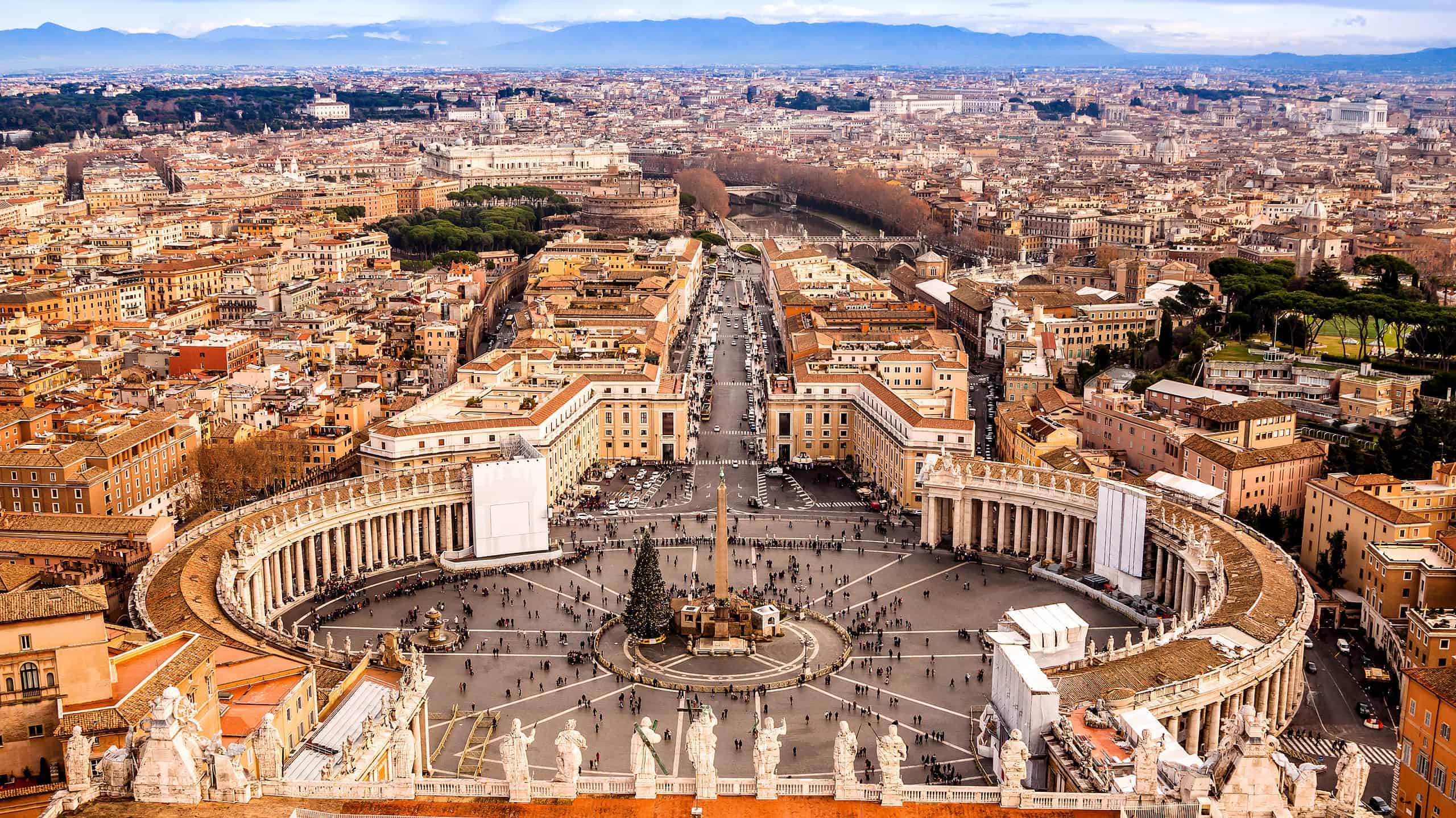
Vatican City State is the world's smallest independent state by both territory and population. Its official territory covers just 0.44 square kilometers, or 44 hectares, which works out to roughly 109 acres. It sits entirely within Rome but is a sovereign state rather than simply another neighborhood of the Italian capital. Vatican City contains St. Peter's Basilica, the Vatican Museums, the Sistine Chapel, and the institutions associated with the Holy See and the papacy. It is a good reminder that political importance and physical size have almost nothing to do with each other.
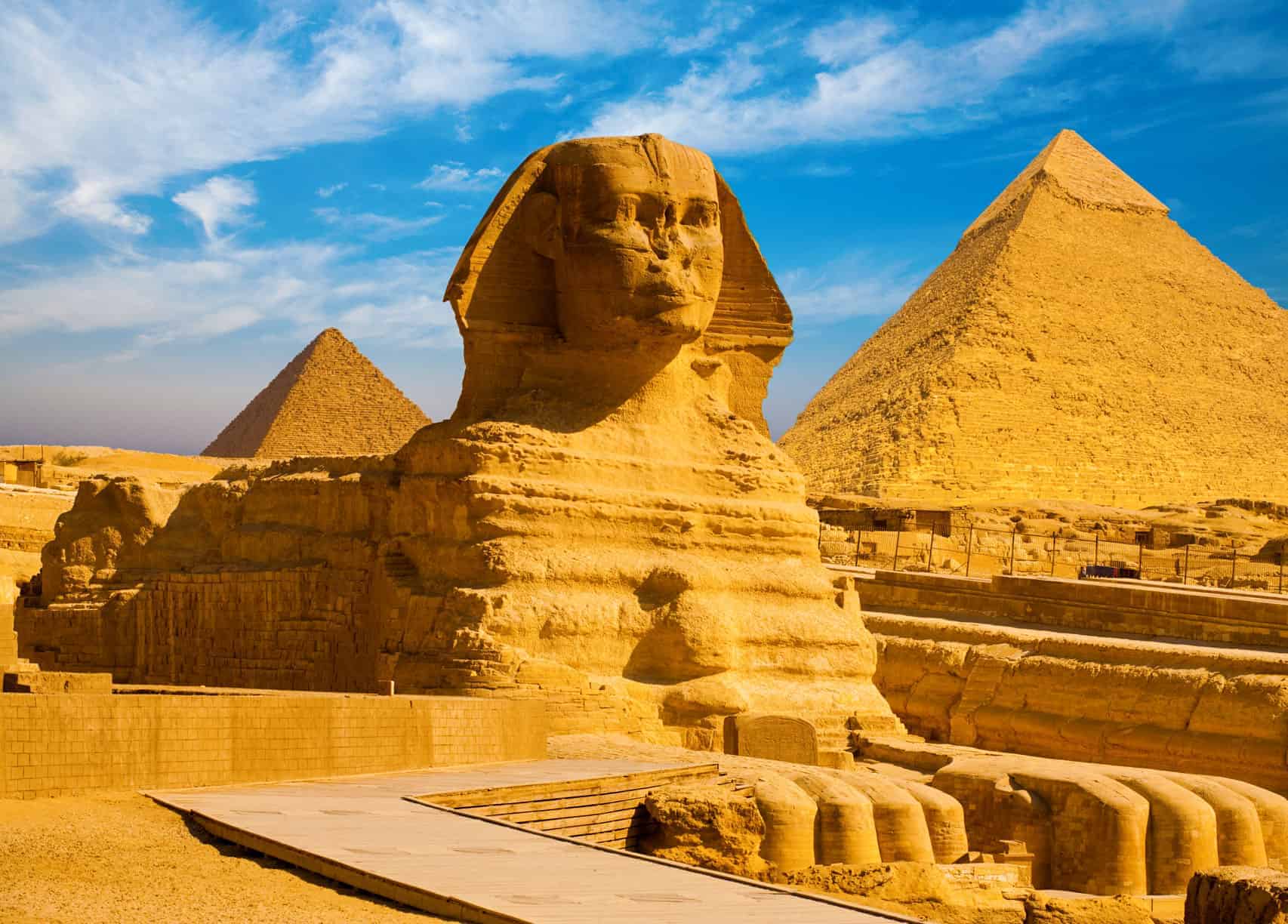
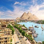
#13 Which African Country Is Home to the World's Most Extensive Pyramid Field?
Hint: Egypt is the obvious guess. It is also the wrong one.
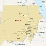
#13 Sudan
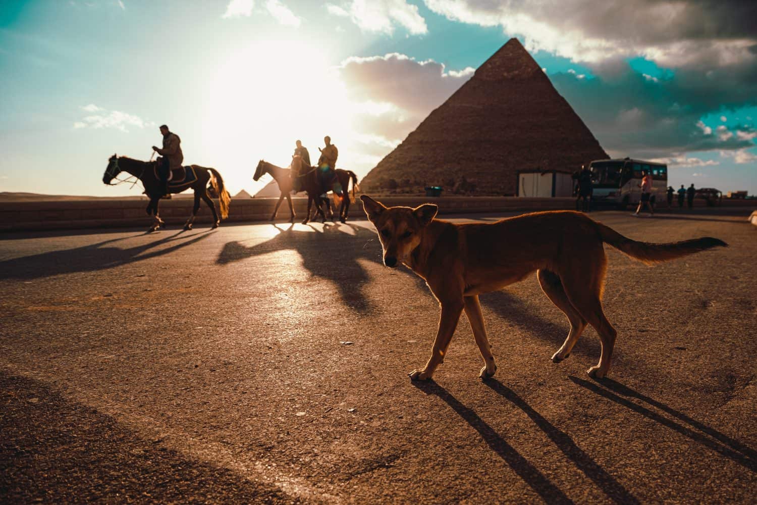
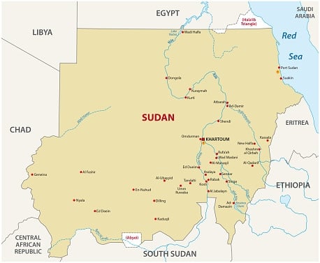
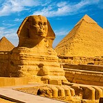
Sudan is home to the ancient pyramid fields associated with the Kingdom of Kush, particularly around Meroe. UNESCO describes the pyramidal field at Meroe as the most extensive in the world. You will often see the broader claim that Sudan has more pyramids than Egypt, although exact national totals can vary depending on which structures archaeologists include. The safer and more interesting fact is that the Kushite civilization built an extraordinary concentration of steep-sided pyramids that remain far less famous internationally than Egypt's monuments at Giza.
#14 Which Continent Has No Permanent Resident Population?
Hint: Scientists live there year-round, but there are no ordinary permanent cities or towns.
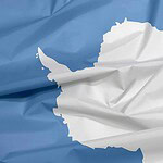
#14 Antarctica
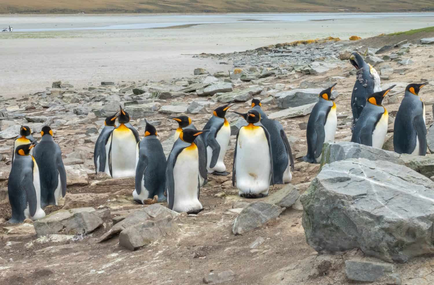
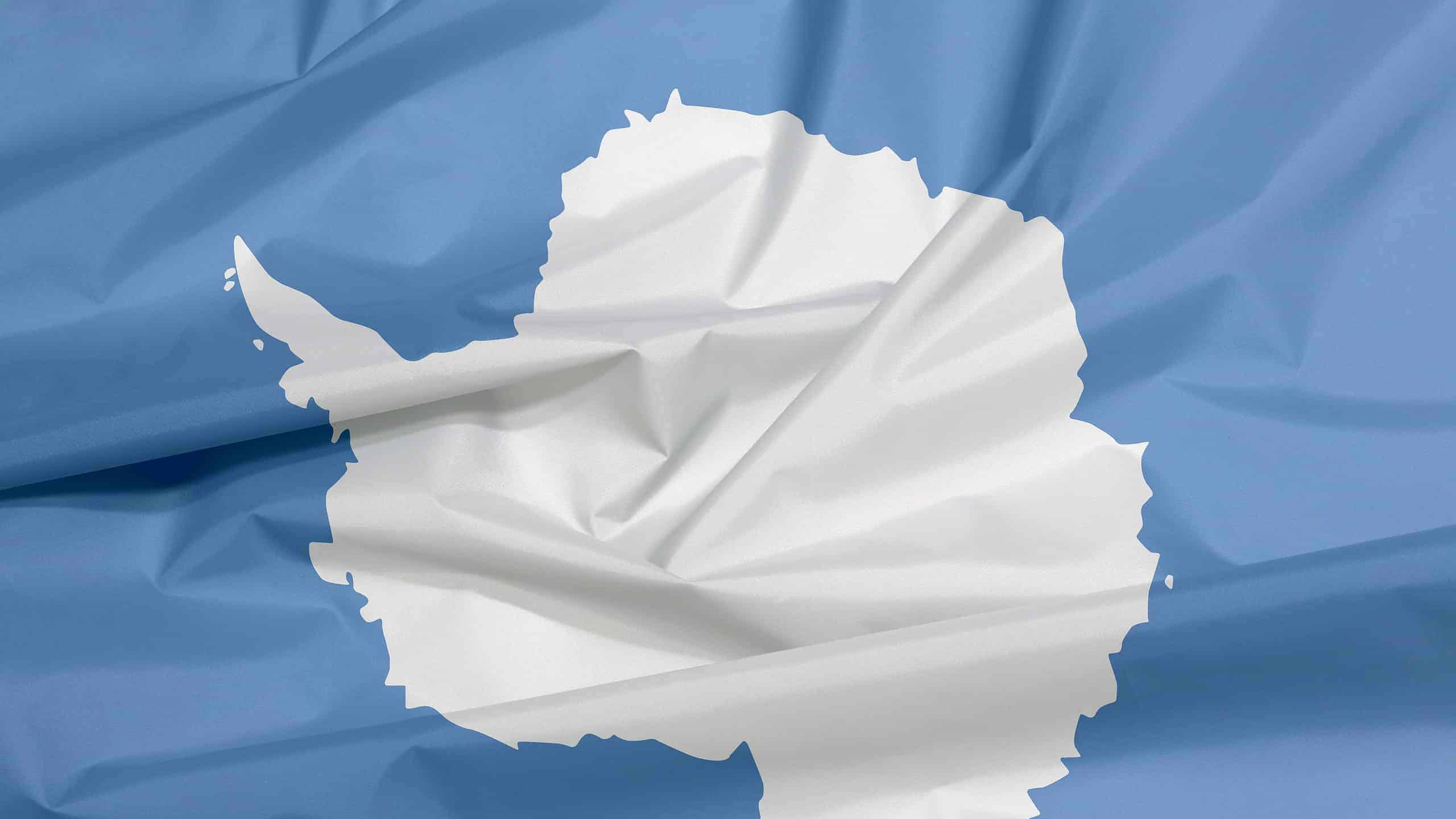
Antarctica has no permanent resident population in the way every other continent does. That does not mean nobody lives there. Scientists and support personnel occupy research stations throughout the year, including the U.S. stations at McMurdo, Palmer, and the South Pole. The population rises during the comparatively mild austral summer and falls sharply during winter. There are no permanent civilian cities, locally born population centers, or sovereign Antarctic country. The continent is instead governed through the international Antarctic Treaty system and is overwhelmingly devoted to science and peaceful activity.
#15 What Is the Reference Line for 0 Degrees Longitude Called?
Hint: Greenwich, England, is the historical giveaway.
#15 The Prime Meridian
The Prime Meridian is the reference for measuring longitude east and west around Earth. In 1884, an international conference adopted the meridian defined by the Airy Transit Circle at the Royal Observatory in Greenwich as 0 degrees longitude. There is a modern twist, however. Today's satellite-based coordinate systems use the International Reference Meridian, which passes about 102.5 meters east of the historic line tourists stand on at Greenwich. So both answers you sometimes see on a GPS screen are technically explainable. The famous Greenwich line is the historic Prime Meridian, while the modern geodetic zero used by satellite navigation sits just a short walk away.