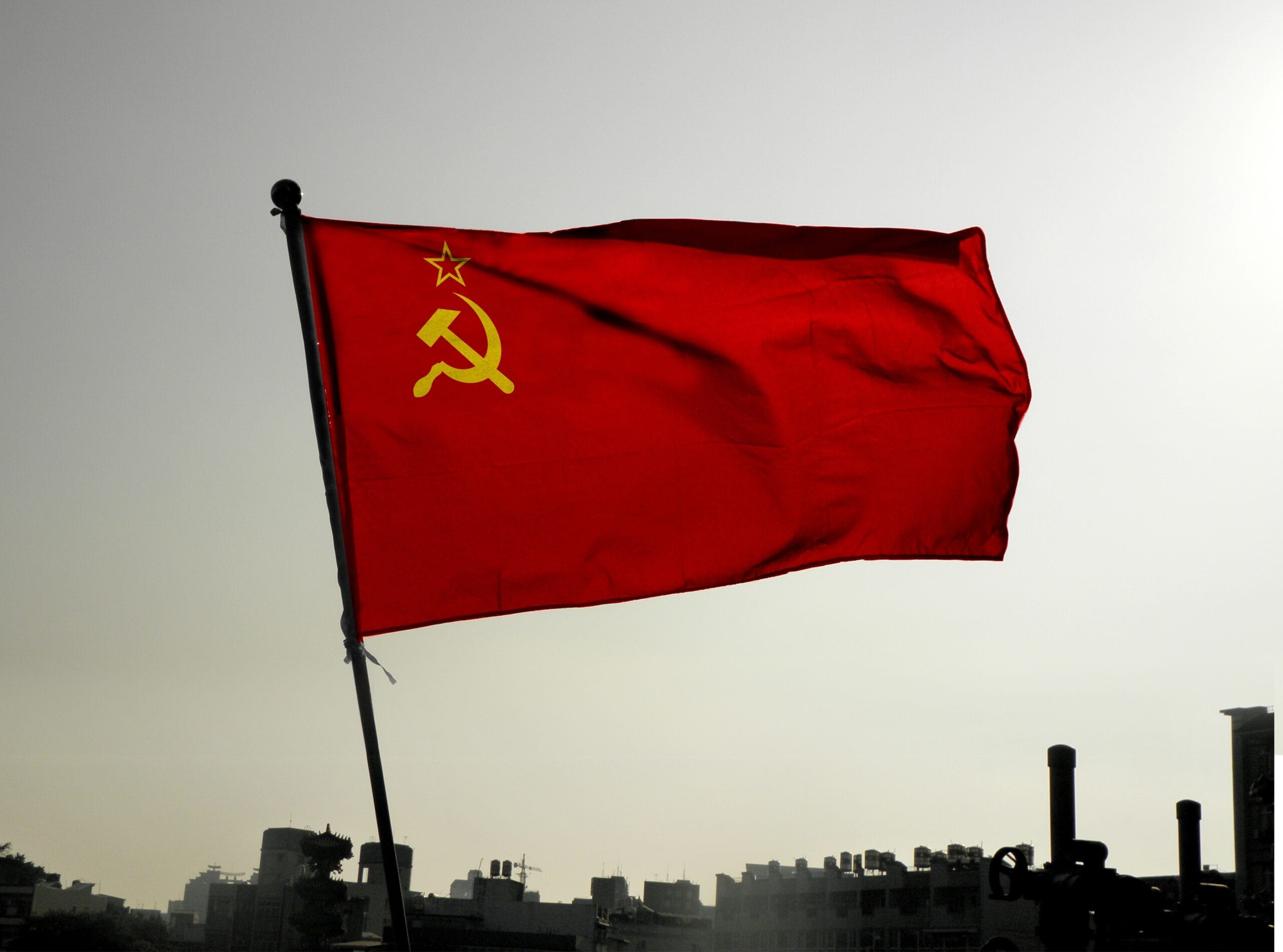
Andy.LIU / Shutterstock.com
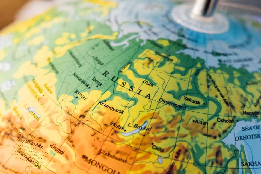
passkphoto/Shutterstock.com

ChamilleWhite/iStock via Getty Images
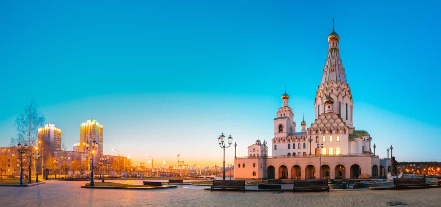
Grisha Bruev/Shutterstock.com

ogichobanov/Shutterstock.com
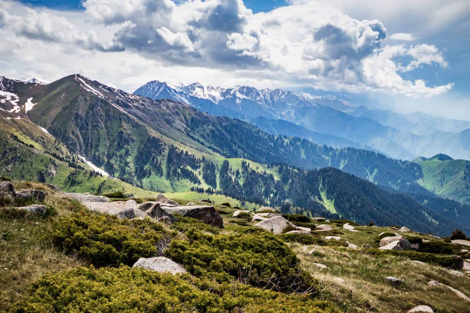
Roman Chekhovskoi/Shutterstock.com
Juan_Hernandez/Shutterstock.com
Wirestock/iStock.com
Gediminas Medziausis/iStock.com
Nataliia Nikolenko/iStock via Getty Images
Lukas Bischoff Photograph/Shutterstock.com
railway fx/Shutterstock.com
Sergey Dzyuba/Shutterstock.com
marlenka/iStock.com
PeterHermesFurian/iStock.com
Ozbalci/iStock via Getty Images


The 15 Republics That Made Up the Soviet Union and Where They Are Today
The Soviet Union was created on December 30, 1922, but its original structure was a little different from the 15-republic map most people remember. The founding entities were the Russian Soviet Federative Socialist Republic, the Ukrainian and Belorussian Soviet Socialist Republics, and the Transcaucasian Soviet Federative Socialist Republic, which included Armenia, Azerbaijan, and Georgia.
The borders and status of the republics changed several times over the following decades. By the final 35 years of the USSR's existence, it consisted of 15 union republics stretching from the Baltic Sea to the Pacific side of Central Asia. Some had entered the Soviet system during its earliest years, while Estonia, Latvia, and Lithuania were occupied and annexed by the Soviet Union in 1940, an incorporation the United States and a number of other countries never recognized as lawful.
By the end of 1991, the Soviet Union was gone, and all 15 republics were independent states. Their paths since then have been very different, but the geography is still a reminder of just how enormous the USSR once was. Here are the 15 republics that made up the Soviet Union during its final decades and a little about each country today.
Russia
Russia was by far the largest republic in the Soviet Union and contained its capital, Moscow.
The Russian Soviet Federative Socialist Republic was one of the USSR's four founding entities in 1922 and dwarfed the other republics in both territory and population. Modern Russia still stretches across Europe and Asia and covers roughly 17.1 million square kilometers, making it the largest country in the world. Moscow remains its capital. The landscape runs from Arctic tundra and enormous forests to the Caucasus Mountains, where Mount Elbrus rises about 18,510 feet and is generally considered Europe's highest peak. When the Soviet Union dissolved in 1991, the Russian Federation became its principal successor state and retained the USSR's permanent seat on the United Nations Security Council.
Ukraine
Ukraine's enormous agricultural sector helped give the country its long-standing reputation as a breadbasket of Europe.
Ukraine was another founding republic of the Soviet Union in 1922. Its capital is Kyiv, and with an area of more than 600,000 square kilometers, it is the largest country located entirely within Europe. Ukraine declared independence on August 24, 1991, and more than 90% of voters supported independence in a nationwide referendum that December. Its fertile black soils have made wheat, maize, barley, sunflower products, and other crops major exports for generations. Agriculture remains important today, although Russia's full-scale invasion beginning in February 2022 has damaged farmland and infrastructure and disrupted transportation and exports. Ukraine's varied landscape also includes the Carpathians, broad steppes, forests, and Black Sea coastline.
Belarus
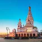
Minsk is the capital and largest city of Belarus.
Belarus, then known as the Belorussian Soviet Socialist Republic, was also one of the four founding entities of the Soviet Union. Today it is a landlocked Eastern European country bordered by Russia, Ukraine, Poland, Lithuania, and Latvia, with Minsk as its capital. Forests cover a large share of the country's relatively flat landscape, which is also dotted with thousands of lakes, wetlands, and rivers. One of its best-known natural areas is the primeval Białowieża Forest, shared with Poland, where European bison survive in one of their most important remaining habitats. Belarus also played a central role in the USSR's final days: leaders of Belarus, Russia, and Ukraine signed the Belavezha Accords in December 1991, declaring that the Soviet Union had ceased to exist.
Moldova
The extinct aurochs appears prominently on Moldova's coat of arms.
Moldova sits between Romania and Ukraine and covers about 33,800 square kilometers, making it one of Europe's smaller countries. The Moldavian Soviet Socialist Republic became a union republic in 1940, and Moldova declared independence on August 27, 1991. Its capital and largest city is Chișinău. Contrary to a common misconception, Moldova is not a NATO member. Its constitution establishes permanent neutrality, although the country has cooperated with NATO through partnership programs since the 1990s. Moldova was granted European Union candidate status in 2022 and later began formal accession negotiations. The cattle head shown on the country's coat of arms represents an aurochs, an extinct wild relative of modern cattle, rather than an animal still wandering the Moldovan countryside.
Kazakhstan
Kazakhstan's huge territory and relatively small population make it one of the world's least densely populated countries.
Kazakhstan covers about 2.72 million square kilometers, making it the ninth-largest country on Earth and the world's largest landlocked country. Most of its territory lies in Central Asia, with a small portion conventionally considered part of Europe. Astana is the capital. Kazakhstan became a Soviet republic during the 1920s and 1930s and ultimately became the last of the 15 union republics to declare independence, doing so on December 16, 1991. Its geography ranges from vast grasslands and deserts to the Tian Shan mountains in the southeast. Wildlife includes saiga antelope, Pallas's cats, ibex, and the elusive snow leopard. With more than 20 million people spread across an area larger than Western Europe, there is still an extraordinary amount of open space.
Estonia
Estonia sits on the Baltic Sea and includes more than 2,000 islands.
Estonia is the northernmost of the three Baltic states, with Tallinn as its capital and a territory of roughly 45,300 square kilometers. That includes the large islands of Saaremaa and Hiiumaa along with more than 2,000 smaller islands and islets. Estonia had been an independent republic between the world wars before Soviet forces occupied and annexed it in 1940. The United States never recognized that incorporation as lawful. Estonia restored its independence in 1991 and later joined both NATO and the European Union in 2004. Forests, bogs, wetlands, and Baltic coastal habitats support species including wolves, Eurasian lynx, brown bears, and the rare Siberian flying squirrel. It is a relatively small country, but geographically it packs in considerably more wilderness than Tallinn's medieval skyline might suggest.
Latvia
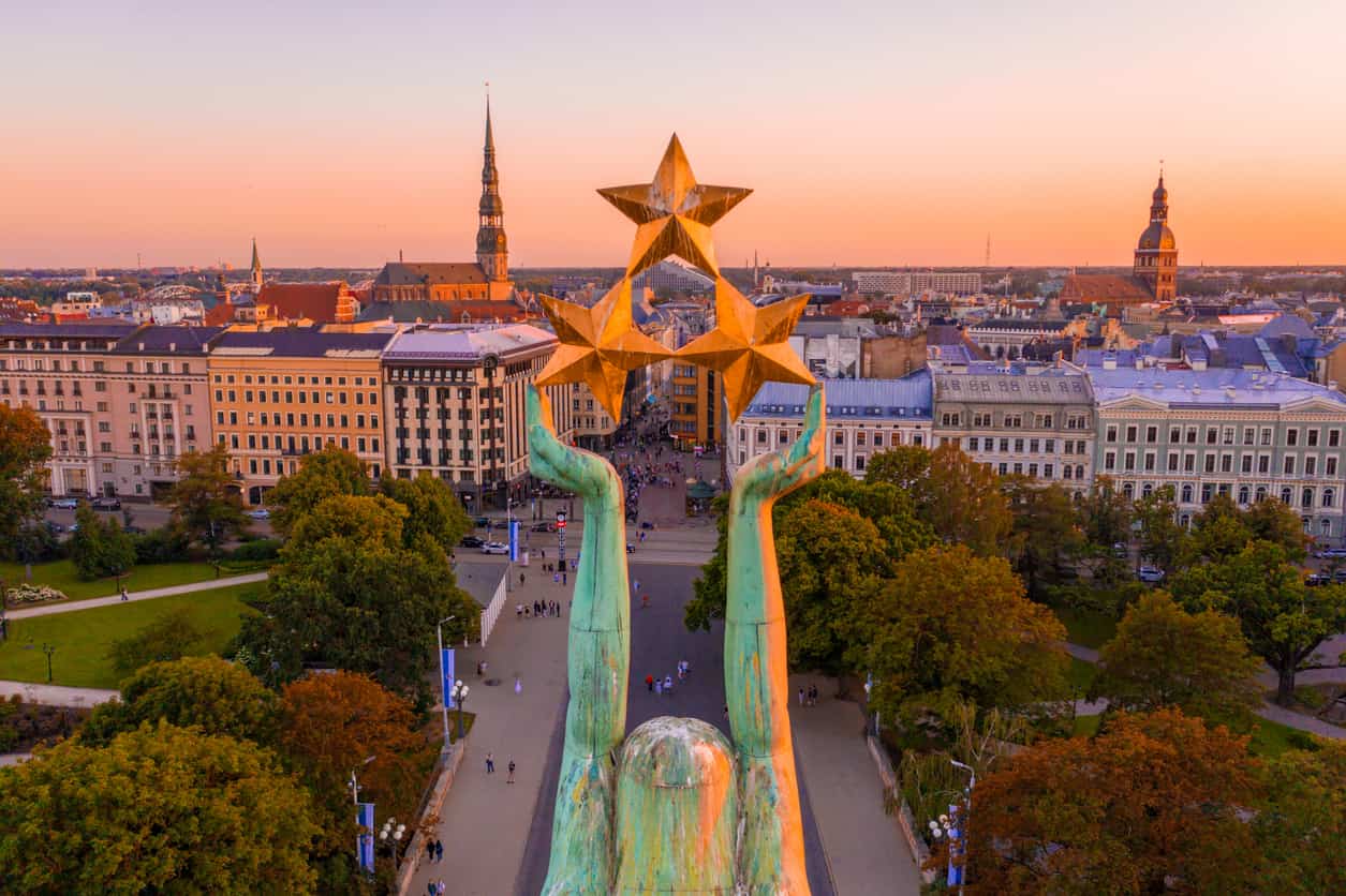
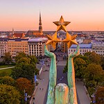
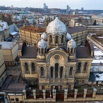
Riga is Latvia's capital and largest city.
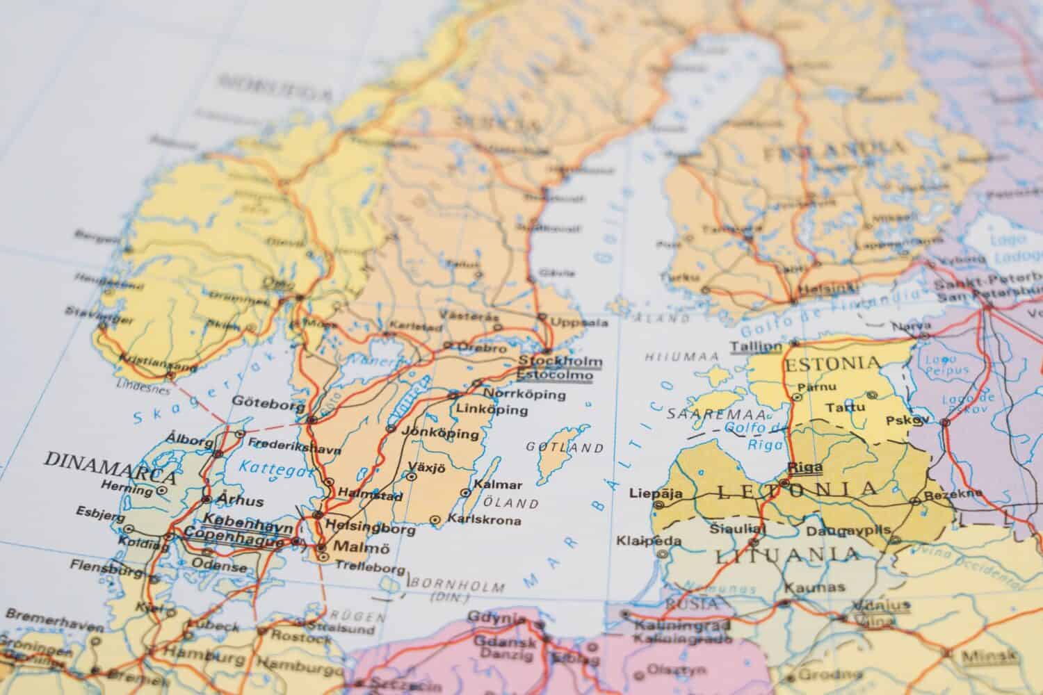
Latvia lies between Estonia and Lithuania on the Baltic Sea and is also bordered by Russia and Belarus. Its capital, Riga, is the country's largest city, although Latvia as a whole had about 1.85 million residents at the beginning of 2026. Like its Baltic neighbors, Latvia was independent between the world wars before being occupied and annexed by the Soviet Union in 1940, an incorporation the United States never recognized. Latvia restored its independence in 1991 and joined NATO and the European Union in 2004. Forests cover more than half of its territory, while wetlands, rivers, lakes, and a long Baltic coastline provide habitat for beavers, elk, wolves, Eurasian lynx, wild boar, and a remarkable variety of birds.
Lithuania
Lithuania restored its independence in 1990 and joined NATO and the European Union in 2004.
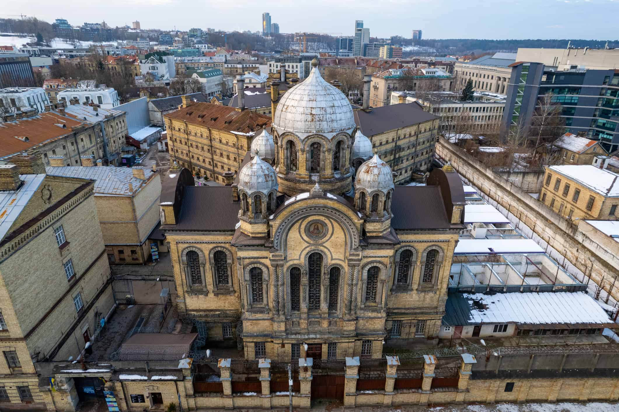
Lithuania is the largest of the three Baltic states by population and has Vilnius as its capital. Like Estonia and Latvia, it had been an independent country before Soviet occupation and annexation in 1940. Lithuania went a step ahead of the rest of the USSR during the breakup: on March 11, 1990, it declared the restoration of its independent state, more than a year before the Soviet Union itself disappeared. Lithuania later joined NATO and the European Union in 2004. Its landscape covers about 65,300 square kilometers and includes forests, lakes, wetlands, farmland, and Baltic beaches. Moose, roe deer, wild boar, wolves, and white storks are widespread. The white stork is Lithuania's national bird and is especially closely associated with the country's rural landscape.
Kyrgyzstan
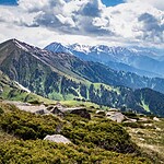
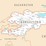
Kyrgyzstan is an intensely mountainous Central Asian country bordering China.
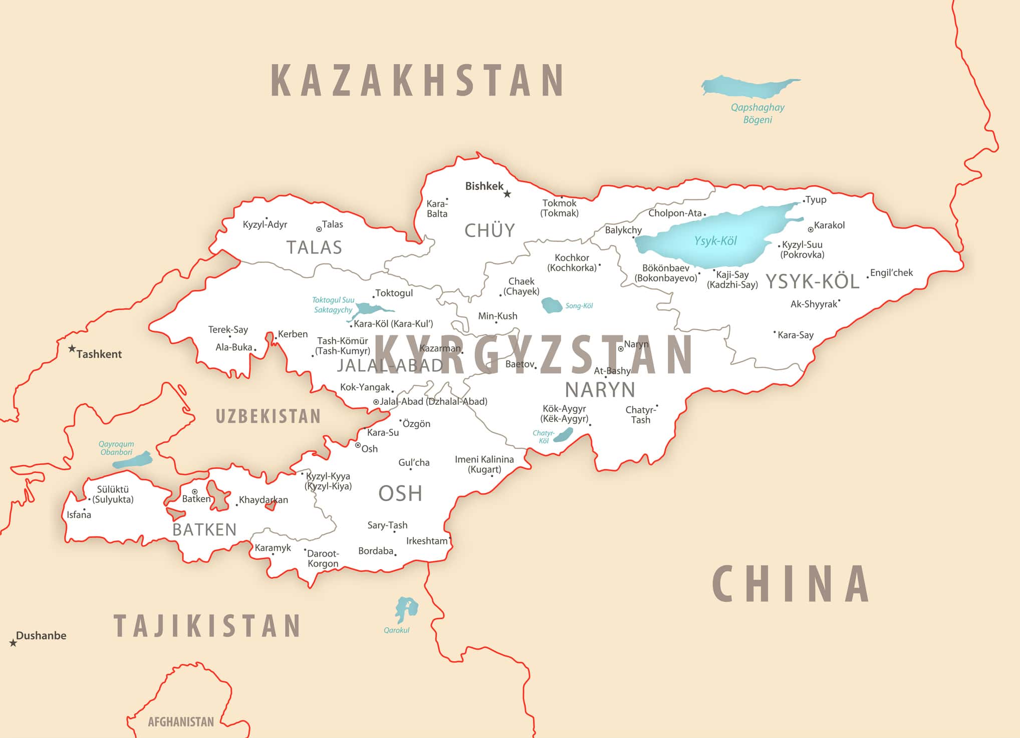
Kyrgyzstan is almost defined by its mountains. Roughly 90% of its territory sits more than 1,500 meters above sea level, with the Tian Shan dominating much of the country and the Pamir-Alay system extending across the southwest. Bishkek is the capital. Kyrgyz territory was reorganized several times during the Soviet period before the Kyrgyz Soviet Socialist Republic became a full union republic in 1936. Kyrgyzstan declared independence on August 31, 1991. Its high-altitude ecosystems are home to animals built for difficult terrain, including Siberian ibex, argali sheep, golden eagles, and snow leopards. Lake Issyk-Kul, surrounded by mountains in the northeast, is another defining feature and one of the world's largest high-altitude lakes.
Tajikistan
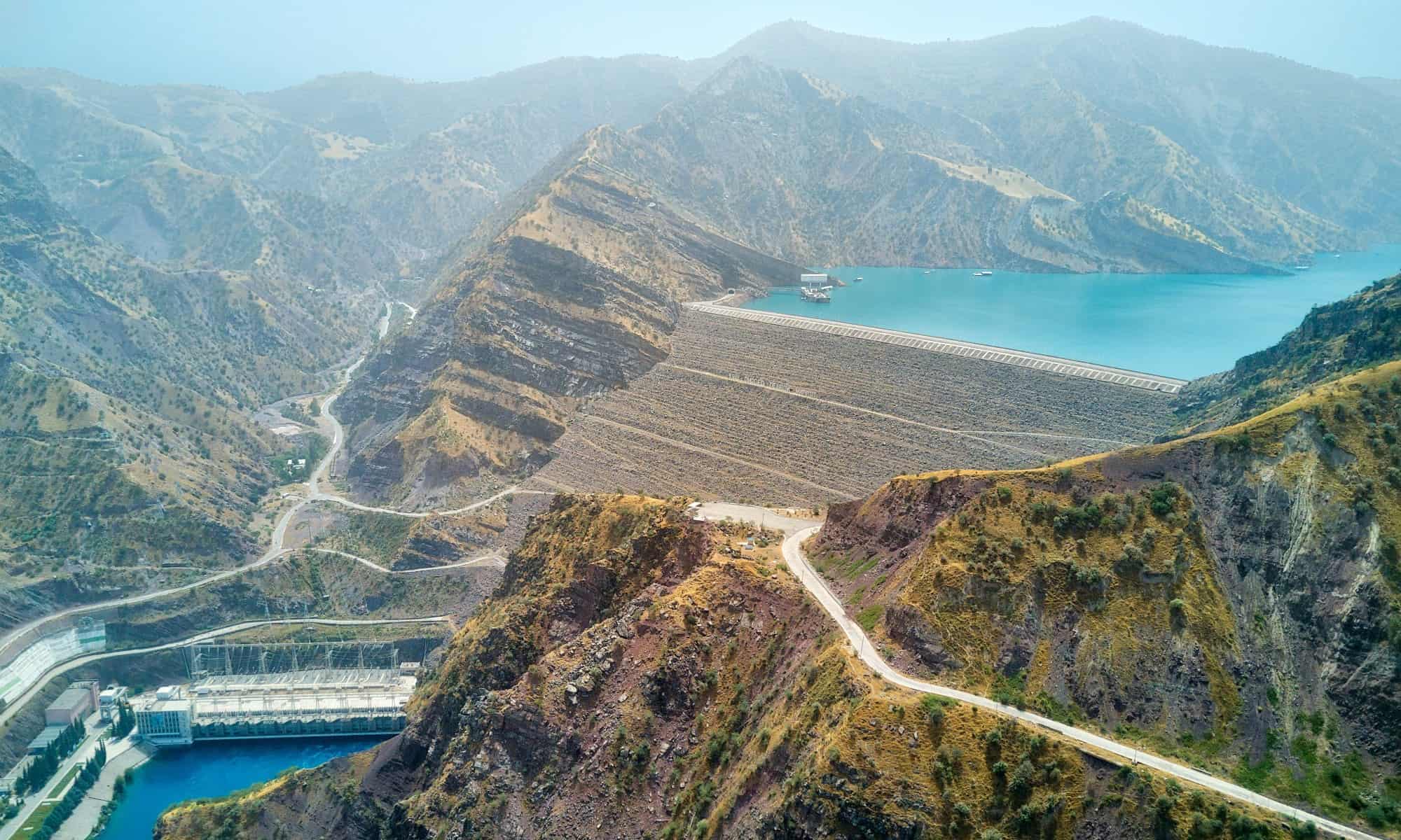
Tajikistan is the smallest of the five former Soviet republics in Central Asia by area, but much of that territory is mountainous.
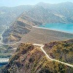
Tajikistan covers about 142,300 square kilometers and is the smallest of the five former Soviet republics in Central Asia. What it lacks in area it makes up for vertically. Mountains cover roughly nine-tenths of the country, including the towering Pamirs in the east. Dushanbe is the capital and has held that role since the Soviet era. Tajikistan began as an autonomous republic within Soviet Uzbekistan before becoming a separate union republic in 1929, then declared independence on September 9, 1991. The country's steep valleys and high plateaus support snow leopards, Siberian ibex, Marco Polo sheep, brown bears, wolves, and golden eagles. Many communities remain concentrated in valleys where rivers provide water and relatively level ground for homes and agriculture.
Turkmenistan
Much of Turkmenistan is covered by the vast Karakum Desert.
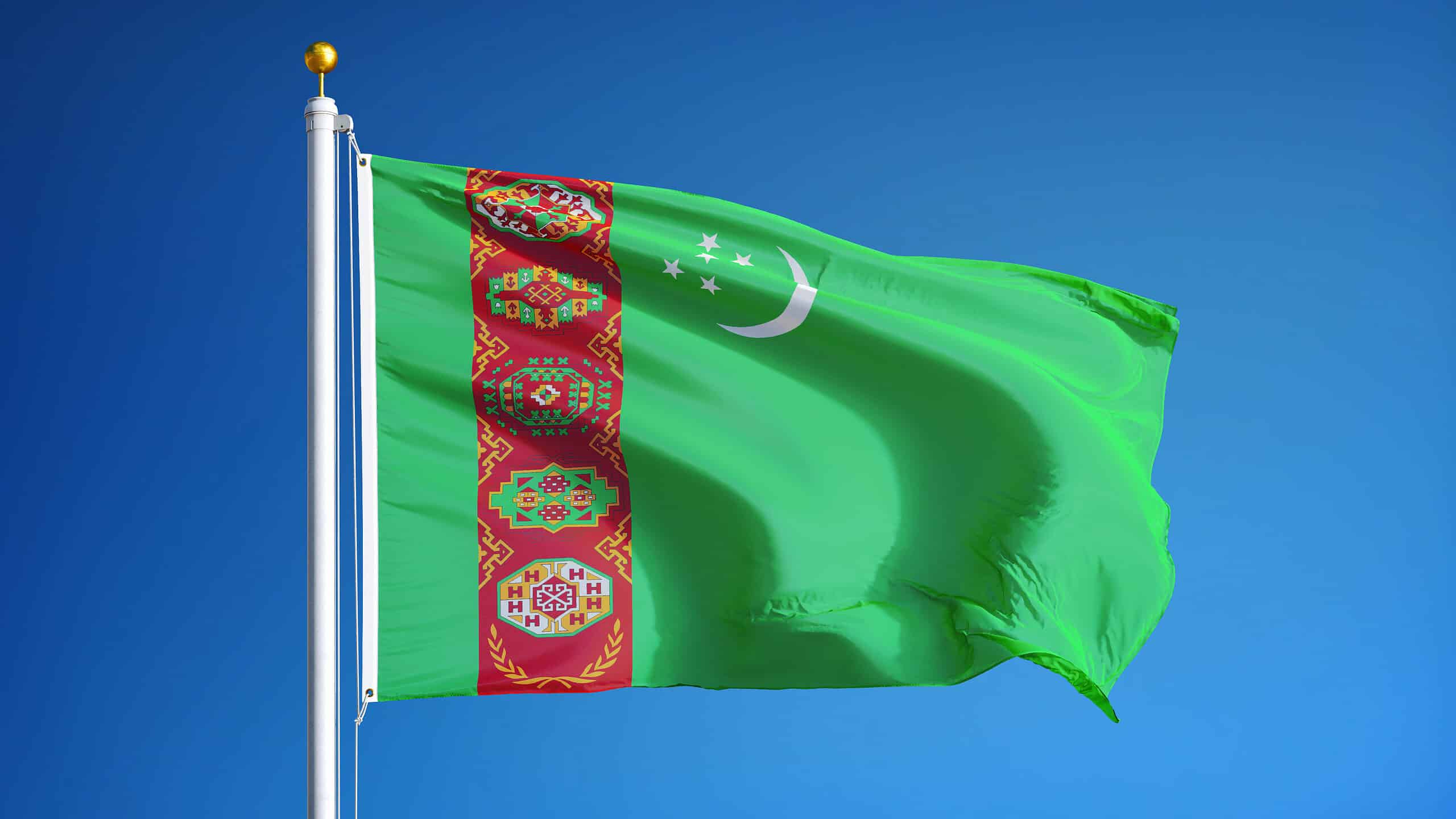
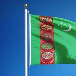
Turkmenistan occupies the southwestern corner of post-Soviet Central Asia, bordered by Kazakhstan, Uzbekistan, Afghanistan, Iran, and the Caspian Sea. Its capital, Ashgabat, sits near the Kopet Dag Mountains, not far from the Iranian border. The Turkmen Soviet Socialist Republic became a union republic during the 1920s, and the country declared independence in October 1991. The desert dominates the landscape, with the Karakum covering most of Turkmenistan's interior. That does not mean the country is empty of wildlife. Goitered gazelles, wild sheep, wolves, foxes, reptiles, and the venomous karakurt spider inhabit its arid regions, while the Caspian coast provides habitat for the endangered Caspian seal. Turkmenistan's official 2022 census counted a population of more than 7 million.
Uzbekistan
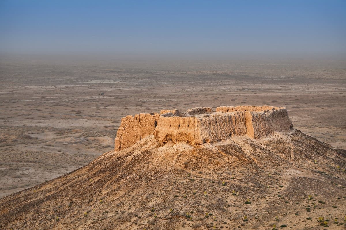
The shrinking Aral Sea is one of the most visible environmental legacies of the Soviet era in Central Asia.
Uzbekistan covers about 448,900 square kilometers in the heart of Central Asia, with Tashkent as its capital. The Uzbek Soviet Socialist Republic was created during the Soviet reorganization of Central Asia in 1924. Uzbekistan declared independence on August 31, 1991, with Independence Day celebrated on September 1. Much of the country consists of plains and desert, including the Kyzylkum. Its most famous environmental crisis is the Aral Sea, not the similarly named Ural region. Beginning during the Soviet era, enormous volumes of water from the Amu Darya and Syr Darya rivers were diverted for irrigated agriculture, especially cotton production. The result was a catastrophic shrinking of the Aral Sea, leaving behind exposed lakebed, salt, and major ecological and economic damage.
Armenia
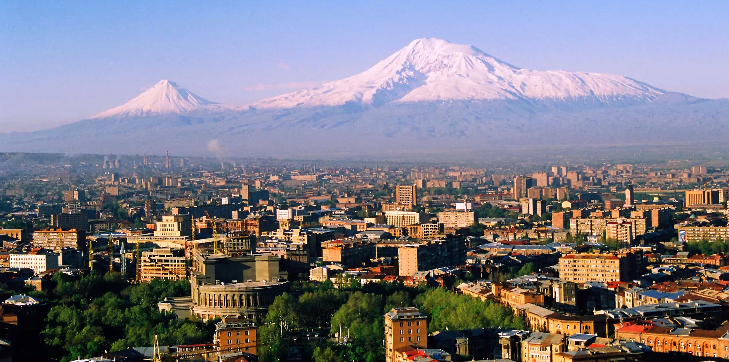
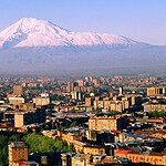
Mount Ararat is one of Armenia's most important national symbols, even though the mountain itself lies across the border in Turkey.
Armenia was part of the Transcaucasian Federation that helped create the Soviet Union in 1922, then became a separate union republic when that federation was dissolved in 1936. Armenia declared independence following a referendum on September 21, 1991. Its capital is Yerevan. The country's rugged landscape covers roughly 29,700 square kilometers and includes mountains, high plateaus, deep valleys, and Lake Sevan. One common geographical mix-up involves two similarly named mountains. Mount Ararat, the famous national symbol visible from Yerevan, stands in modern Turkey and rises about 5,137 meters. Mount Aragats, at about 4,090 meters, is the highest mountain located inside Armenia. Brown bears, bezoar goats, golden eagles, and other mountain wildlife inhabit the country's varied elevations.
Azerbaijan
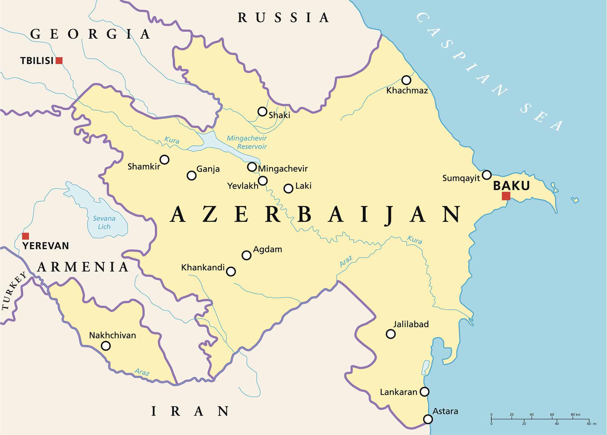
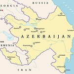
Azerbaijan lies along the Caspian Sea between the Caucasus Mountains and Iran.
Azerbaijan was another part of the Transcaucasian Federation at the Soviet Union's founding and became a separate Soviet republic in 1936. The modern Republic of Azerbaijan restored its independence on October 18, 1991. Its capital, Baku, sits on the Caspian Sea, and the country's territory covers about 86,600 square kilometers. Azerbaijan lies around the conventional boundary between Europe and Asia, with the Greater Caucasus rising across the north. It is also one of the world's great centers of mud-volcano activity. Hundreds have been identified in Azerbaijan, representing an unusually large share of the world's known mud volcanoes. Wildlife ranges from wolves and goitered gazelles inland to Caspian seals and large populations of migratory waterbirds around coastal wetlands.
Georgia
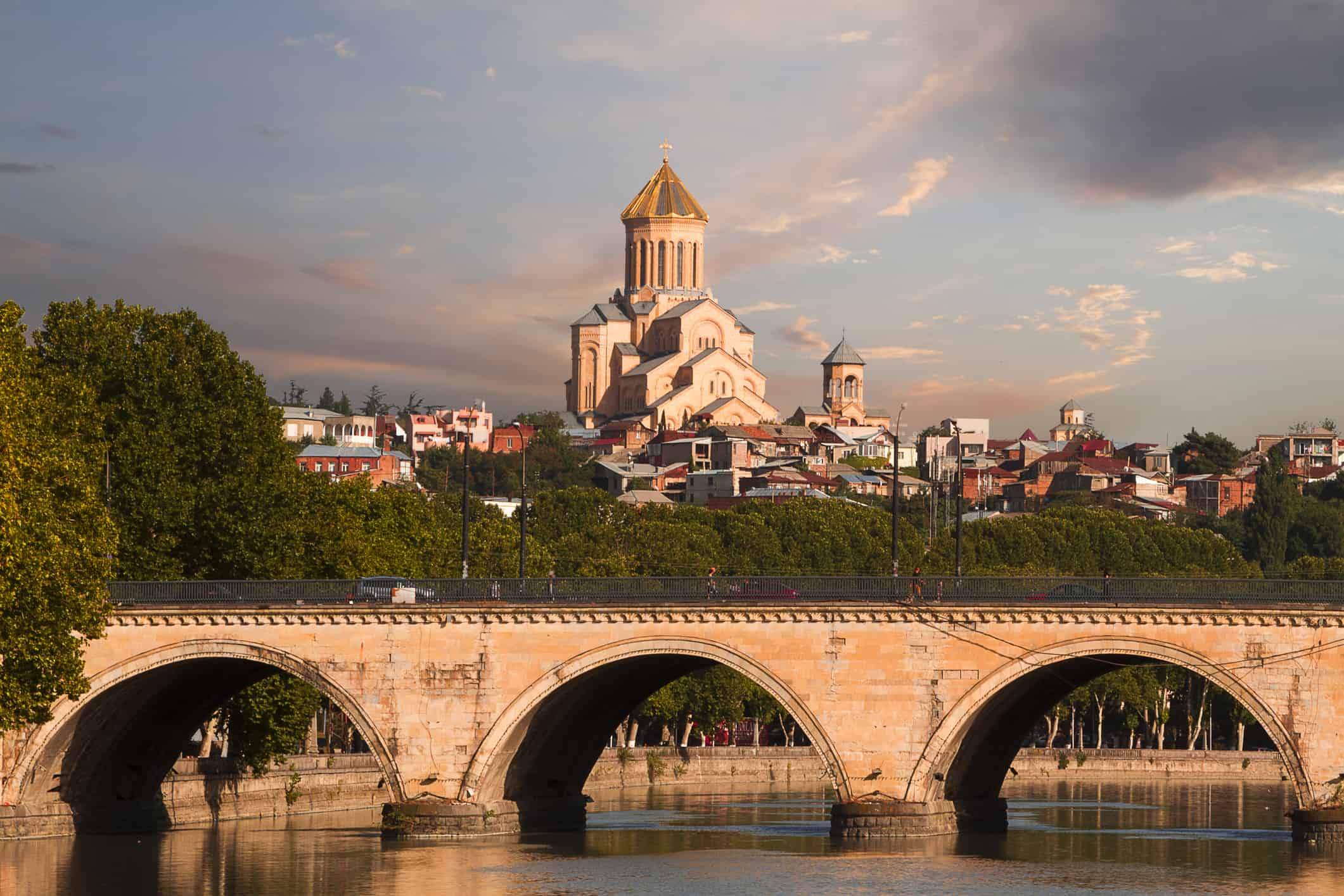
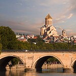
Tbilisi is Georgia's capital and home to more than one-third of the country's population.
Georgia sits between the Greater Caucasus Mountains and the Black Sea, covering about 69,700 square kilometers. Its capital, Tbilisi, had roughly 1.37 million residents at the beginning of 2026, while Georgia's total population was about 3.94 million. Soviet forces entered Georgia in 1921, and the republic was later incorporated into the Transcaucasian Federation before becoming a separate Georgian Soviet Socialist Republic in 1936. Georgia restored its state independence on April 9, 1991, following a national referendum. The landscape changes dramatically over a relatively short distance, from humid Black Sea lowlands and forests to dry eastern valleys and snow-covered Caucasus peaks. Brown bears, wolves, lynx, wild goats, and numerous birds of prey inhabit its mountain regions.