US Roadways Encyclopedia
Mike Flippo/Shutterstock.com
Songquan Deng/Shutterstock.com

artstreet/iStock via Getty Images
f11photo / iStock via Getty Images

marekuliasz/Shutterstock.com

Missing attribution

Richie Diesterheft from Chicago, IL, USA, CC BY 2.0
Picturesque Japan / iStock via Getty Images

Photo by David Butow / Corbis via Getty Images

Brent Coulter/Shutterstock.com

Dan Sedran/Shutterstock.com

Zhukova Valentyna/Shutterstock.com

lunamarina/Shutterstock.com
christopher d gilman / Shutterstock.com

Bill Chizek/Shutterstock.com







Route 66: Where It Starts, Ends, and What to See
There's something about Route 66 that makes people want to pack a bag, fill the gas tank, and see where the road takes them. Maybe it's the old diners and neon motel signs. Maybe it's the small towns that haven't changed much in decades. Or maybe it's the chance to experience a piece of American history without having to step inside a museum.
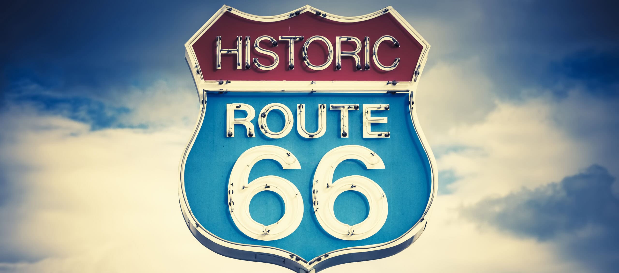
Established in 1926, Route 66 originally connected Chicago with Los Angeles before being extended to Santa Monica. The famous highway crossed eight states and became an important route for families heading west, businesses serving travelers, and eventually generations of vacationers. Although it was officially decommissioned in 1985, much of the old roadway survives, and 2026 marks its 100th anniversary.
So where does Route 66 actually begin and end, and what can you still see along the way? Here's a look at its history, some of the places worth visiting, and what to expect if you're planning to experience the Mother Road for yourself.
Route 66: More Than 2,400 Miles of American History
Route 66 was officially established on November 11, 1926, as part of America's developing numbered highway system. Its original alignment stretched approximately 2,448 miles, passing through Illinois, Missouri, Kansas, Oklahoma, Texas, New Mexico, Arizona, and California. It wasn't a completely new road, either. Much of the highway connected existing local and state roads into a single cross-country route, and some sections were still unpaved when it received its designation. During the Great Depression, the highway carried families fleeing drought and economic hardship in the Great Plains, helping inspire John Steinbeck's description of Route 66 as the Mother Road in his 1939 novel "The Grapes of Wrath." After World War II, roadside motels, restaurants, gas stations, and attractions flourished as more Americans took to the road for vacations. That combination of migration, commerce, and travel helped turn an ordinary highway number into an American cultural landmark.
Chicago, Illinois: Where Route 66 Begins
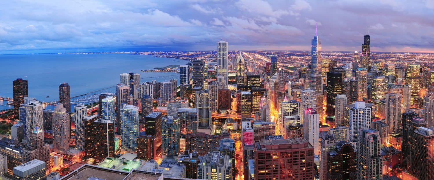
For travelers heading west, Route 66 begins in Chicago, Illinois, although the exact starting point depends on which historic alignment you're following. When the highway was designated in 1926, its eastern terminus was at Jackson Boulevard and Michigan Avenue. Later routing changes brought westbound traffic onto Adams Street, where visitors can find the familiar Historic Route 66 Begin sign near Michigan Avenue. In 2026, Chicago also recognized Navy Pier as a ceremonial starting point for the highway's centennial celebration, though that doesn't change the original historical alignment. Once you leave downtown, the old route passes through Chicago's western and southwestern suburbs before heading toward Joliet and the rest of Illinois. If you're planning a full Route 66 road trip, Chicago makes a natural starting point. You can explore the lakefront, take in the skyline, and then follow the old highway southwest toward the smaller communities that helped define its history.
Illinois: Springfield, Pontiac, and Roadside History
Illinois offers a good introduction to what makes Route 66 worth exploring. As you travel southwest from Chicago, communities such as Joliet, Pontiac, Bloomington, and Springfield preserve reminders of the highway's earlier years. Pontiac is particularly well known among Route 66 enthusiasts for its murals, museums, and roadside attractions dedicated to the old highway. Springfield, the state capital, combines Route 66 history with landmarks associated with Abraham Lincoln. It's also home to the Cozy Dog Drive In, a longtime roadside business associated with the development of the corn dog on a stick. Farther south, historic gas stations, diners, and surviving stretches of older pavement provide a glimpse of what cross-country travel looked like before the interstate system took over. Rather than rushing through Illinois on the interstate, it's worth spending time in the communities along the older alignments. Those smaller stops are a big part of what makes the Route 66 experience different from an ordinary highway drive.
Missouri: St. Louis, Springfield, and the Ozarks
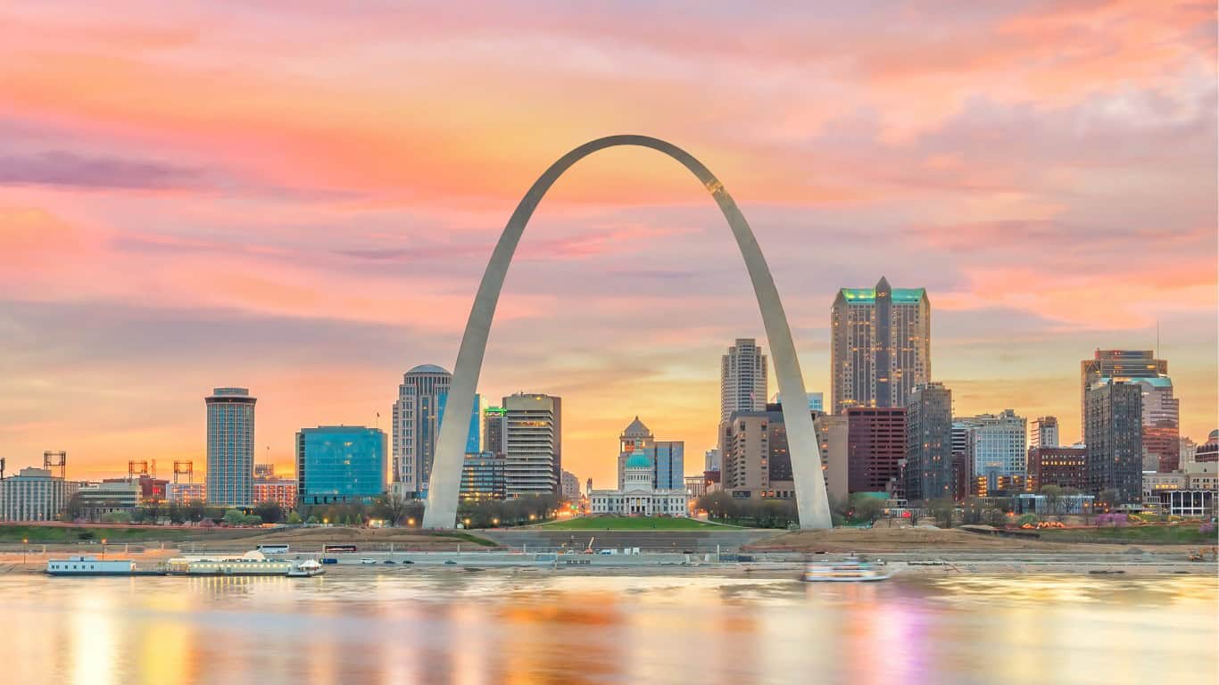
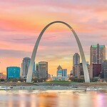
Route 66 enters Missouri near St. Louis, where the Mississippi River once presented a major obstacle for cross-country travelers. One of the area's best-known landmarks is the Chain of Rocks Bridge, famous for its unusual bend near the middle. The bridge carried Route 66 traffic for decades and is now open to pedestrians and cyclists rather than regular automobile traffic. From St. Louis, the highway continues southwest through rolling countryside and communities such as Cuba, Rolla, Lebanon, and Springfield. Cuba is known for its historic Wagon Wheel Motel, which began serving travelers in 1936 and remains an important example of early roadside lodging. Springfield also claims an important place in Route 66 history because the highway's now-famous number was proposed there in 1926. Missouri's combination of river crossings, Ozark scenery, classic motels, and small-town main streets makes it one of the more varied stretches of the trip.
Kansas: Just 13 Miles of Route 66
Kansas has the shortest stretch of Route 66, covering approximately 13 miles in the southeastern corner of the state. It would be easy to miss entirely if you were simply following the interstate, but that short distance includes several recognizable roadside landmarks. The highway passes through Galena, Riverton, and Baxter Springs, communities that maintain strong connections to the historic route. One especially notable attraction is the Rainbow Bridge, a surviving Marsh arch bridge that dates to 1923 and represents an earlier era of American highway construction. Galena also features vintage roadside businesses and attractions connected to the animated movie "Cars." What makes this section appealing is that you don't need to commit an entire day to experience it. You can explore the historic downtown areas, photograph the old bridge, and continue into Oklahoma without adding a major detour. Kansas may have the least Route 66 mileage, but it still has plenty of history packed into those few miles.
Oklahoma: Tulsa, Oklahoma City, and Route 66 Landmarks
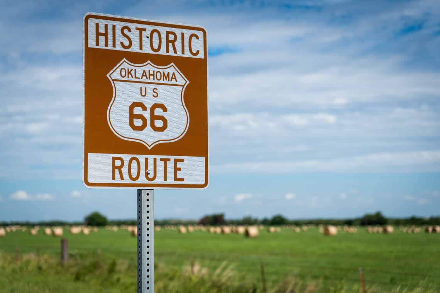
Oklahoma has one of the strongest historical connections to Route 66, thanks in part to Tulsa businessman Cyrus Avery, who played a major role in establishing and promoting the highway. Avery is often remembered as the Father of Route 66, and Tulsa continues to celebrate that connection through historic landmarks and public art. Before reaching Tulsa from the east, travelers can visit the Blue Whale of Catoosa, a giant roadside sculpture that has become one of the route's most recognizable attractions. Farther west, the highway runs through Oklahoma City and the nearby community of Arcadia, home to the distinctive Round Barn. Oklahoma also preserves important stories about the people who depended on the highway, including Black travelers who faced segregation and relied on welcoming businesses such as the historic Threatt Filling Station. With its combination of roadside attractions, preserved buildings, and transportation history, Oklahoma offers considerably more than just another stretch of pavement between Missouri and Texas.
Texas: Amarillo and the Midpoint of Route 66
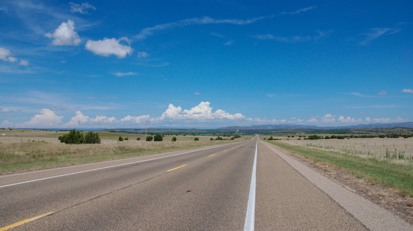
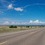
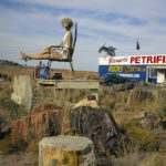
Route 66 crosses the Texas Panhandle, where the landscape opens into wide plains and long stretches of highway. Along the way, travelers pass through towns such as Shamrock, McLean, Amarillo, Vega, and Adrian. Shamrock's U-Drop Inn is a well-known example of the distinctive architecture that once attracted motorists to roadside businesses. Amarillo offers another famous stop: Cadillac Ranch, a public art installation featuring partially buried cars standing at an angle in a field near Interstate 40. A little farther west, the small community of Adrian marks the traditional halfway point of the later Route 66 alignment, with the Midpoint Cafe and its roadside signage celebrating the location. The midpoint mileage reflects a shorter version of the highway, not the original 2,448-mile alignment. Texas isn't the longest portion of Route 66, but its combination of unusual attractions, historic buildings, and open Panhandle scenery captures much of the classic American road-trip experience.
New Mexico: Tucumcari, Albuquerque, and Santa Fe
New Mexico brings a noticeable change in scenery, with mesas, desert landscapes, historic trading communities, and some of Route 66's most recognizable neon motel signs. Tucumcari is particularly famous for its roadside accommodations, including the historic Blue Swallow Motel. Farther west, Albuquerque's Central Avenue follows the later Route 66 alignment through a city that still embraces its connection to the highway. There's an interesting historical detail here, too. The original 1926 route took a longer path north through Santa Fe before heading south toward Albuquerque and continuing west. In 1937, the highway was realigned to bypass Santa Fe and follow a more direct east-west course, shortening the journey by roughly 100 miles. Travelers interested in the earlier alignment can still explore portions of the Santa Fe route, although some original sections are no longer passable. Between the historic pueblos, desert scenery, and roadside architecture, New Mexico offers one of the most distinctive portions of the entire trip.
Arizona: The Painted Desert and Petrified Forest
Arizona is where Route 66 starts to feel like the classic Southwestern road trip many people imagine, with colorful desert formations, wide-open landscapes, and historic roadside communities. One particularly worthwhile stop is Petrified Forest National Park, which preserves an original alignment of Route 66 within its boundaries. According to the National Park Service, it's the only national park that contains a section of the historic highway. You can't simply drive the former roadway through the park today, but visitors can stop at a designated exhibit featuring an old automobile, the historic roadbed, and a line of telephone poles marking the original alignment. The surrounding Painted Desert offers dramatic scenery, while the park itself is known for its ancient petrified wood and geological history. It's a good opportunity to experience the landscape that generations of travelers saw while crossing Arizona, even if the modern park roads don't follow the original highway exactly.
Arizona: Seligman, Kingman, and the Old Highway
Arizona also preserves some of the most rewarding driveable sections of historic Route 66. The road runs through communities such as Winslow, Flagstaff, Williams, Seligman, and Kingman, many of which still display historic Route 66 signs and maintain businesses catering to travelers. One especially notable section is State Route 66, a scenic highway connecting Seligman and Kingman through Peach Springs. Arizona transportation officials maintain this stretch, which avoids Interstate 40 and allows drivers to experience a more traditional two-lane highway. Seligman is particularly known for its preservation efforts and colorful roadside businesses, while Kingman offers museums and attractions celebrating the route's history. West of Kingman, another historic alignment travels toward Oatman through the Black Mountains, although that winding mountain road requires more careful driving. For anyone hoping to experience Route 66 rather than simply follow the interstate, this part of Arizona is worth taking the time to explore.
California: Needles and the Mojave Desert
After crossing the Colorado River into California, Route 66 enters the Mojave Desert, where the landscape becomes noticeably more remote. Needles is one of the first major communities along the California portion of the route, and historic alignments continue west through desert settlements such as Amboy and Ludlow. Amboy is especially well known for Roy's Motel and Cafe, a classic roadside landmark recognized for its distinctive sign and midcentury architecture. The desert section is scenic, but it's also one of the places where preparation matters most. Summer temperatures can be extreme, fuel stops are farther apart, and portions of the old National Trails Highway have experienced long-term closures caused by flooding and damaged infrastructure. Some stretches cannot be followed continuously in an ordinary vehicle. Before attempting this part of Route 66, check current road conditions, carry plenty of water, and plan your fuel stops carefully. The Mojave is beautiful, but it's not somewhere you want to discover an empty gas tank.
California: Barstow, San Bernardino, and Los Angeles
Leaving the more remote desert behind, Route 66 continues toward Barstow, Victorville, San Bernardino, Pasadena, and eventually Los Angeles. This portion of the journey offers another look at the highway's evolution, from rural desert roads into the heavily developed communities of Southern California. Barstow has long served as an important transportation crossroads, while San Bernardino is home to the historic Wigwam Motel, known for its distinctive concrete lodging units shaped like teepees. As you continue west, more of the former route becomes incorporated into modern streets and commercial districts. Interestingly, downtown Los Angeles was the highway's original western terminus when Route 66 was established in 1926. The road ended near the intersection of Broadway and Seventh Street before being extended farther west in 1936. Today, following the historic alignment through metropolitan Los Angeles involves regular city traffic, numerous intersections, and several different street names rather than one uninterrupted highway.
Santa Monica: Where Route 66 Reaches the Pacific
For most modern Route 66 travelers, the journey ends in Santa Monica, California, where the highway's western terminus was extended in 1936. There's one detail worth knowing before you go looking for the famous end marker, though. The official historical terminus was at the intersection of Lincoln and Olympic Boulevards, not directly on the beach. The Santa Monica Pier's popular End of the Trail sign was installed in 2009 as a ceremonial marker for travelers completing the trip. It isn't the original federal highway endpoint, but it's certainly a more memorable place to celebrate finishing a cross-country drive. The pier offers views of the Pacific Ocean, amusement rides, restaurants, and plenty of opportunities for photographs. After crossing eight states and thousands of miles of American history, ending your trip beside the ocean feels like a fitting conclusion. Just remember that the famous pier sign represents the highway's legacy rather than its precise historical alignment.
What Wildlife Can You See Along Route 66?
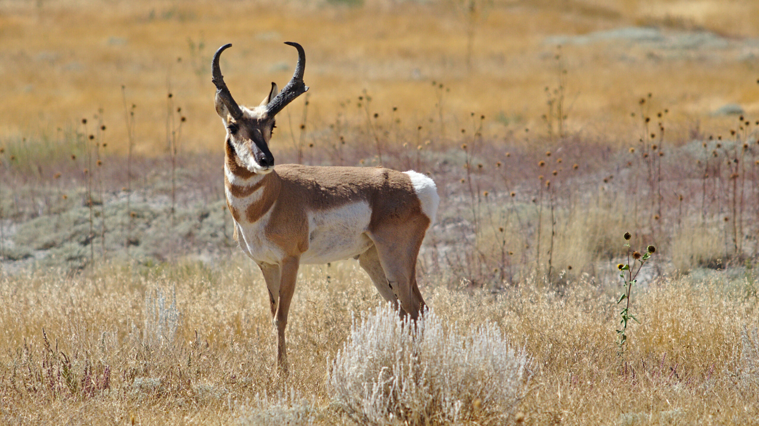
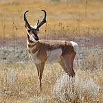
One of the interesting things about traveling Route 66 is how dramatically the landscape changes between Chicago and California. The forests, rivers, and farmland of the Midwest eventually give way to Oklahoma's plains, New Mexico's high desert, and Arizona's colorful rock formations. Those changes also mean different opportunities to see wildlife. White-tailed deer are common in much of the Midwest, while birds of prey, coyotes, and other animals inhabit more open country farther west. Petrified Forest National Park in Arizona is particularly known for wildlife such as pronghorn, coyotes, and ravens. Of course, these are wild animals, not guaranteed roadside attractions, and sightings depend on the location, season, and time of day. Travelers should also be cautious when driving through rural areas around dawn and dusk, when animals may be more active near roads. Enjoy the scenery, keep a safe distance, and never approach or feed wildlife for a photograph.
Can You Still Drive Route 66 Today?
Yes, although it's a little more complicated than following a single highway from Chicago to California. Route 66 was officially decommissioned in 1985 after the interstate system replaced much of its original purpose. Today, portions survive as city streets, state highways, county roads, and designated historic routes, while other sections have disappeared or are closed to traffic. Interstates such as I-55, I-44, and I-40 help connect the communities along the original corridor, but following only those roads means missing much of what makes Route 66 special. The National Park Service maintains information on historic places along the route, including buildings, bridges, and surviving highway alignments. The 100th anniversary in 2026 has also brought renewed attention to the highway's preservation. If you're planning a trip, use an updated Route 66 guide, verify road closures and business hours, and give yourself time for the smaller stops. The best part of the Mother Road has always been what you find between the major cities.