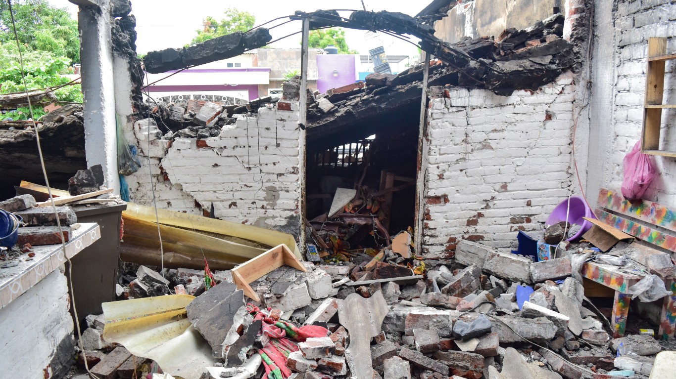
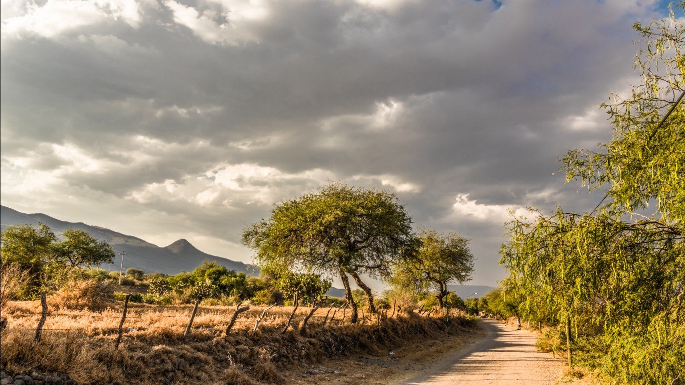
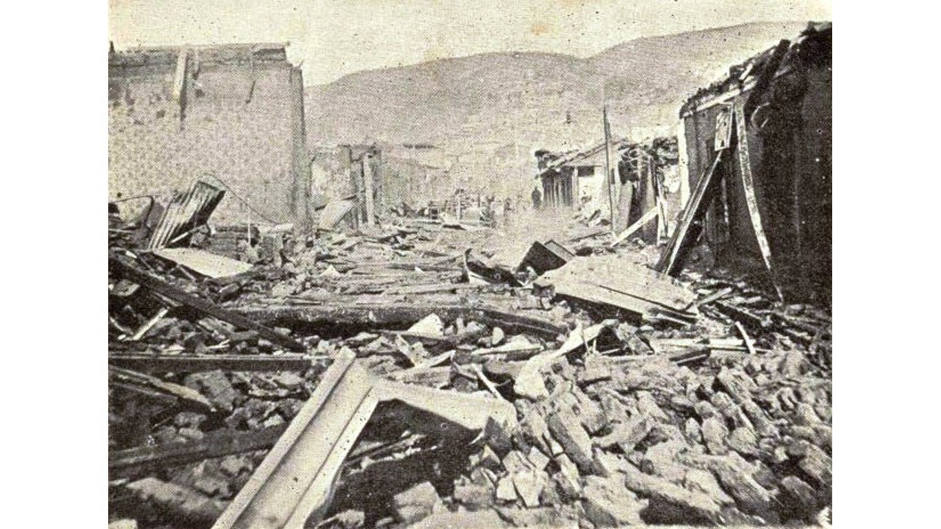
On Sept. 8, a devastating earthquake struck Morocco, killing nearly 3,000 people and injuring over 5,000. Some mountain villages near the epicenter were almost completely destroyed and historic sections of Marrakech also sustained extensive damage.
This quake registered 6.8 on the moment magnitude scale, which is used to measure the amount of energy released during an earthquake and the distance the ground moves along a fault. (Numerous scales are used worldwide to measure different aspects of an earthquake’s magnitude and effects. The more familiar Richter scale is less accurate than the moment scale for quakes measuring more than 5.)
While a magnitude of 6 has the equivalent force of about 60,000 tons of TNT, a magnitude of 7 is ten times more intensive, and a magnitude of 8 represents 100 times more force – equivalent to 6 million tons of TNT. (The most powerful earthquakes ever recorded have all had a magnitude of 8 or higher.)
While earthquakes of this magnitude are rare in North Africa, some areas of the world – including parts of the U.S., especially Alaska – are particularly prone to strong earthquakes. To identify the 12 most recent magnitude 8+ earthquakes to strike North America, 24/7 Tempo reviewed the United States Geological Survey’s earthquake mapping tool. Only earthquakes occurring after 1900, when some degree of instrumental earthquake record-keeping came into play, are included.
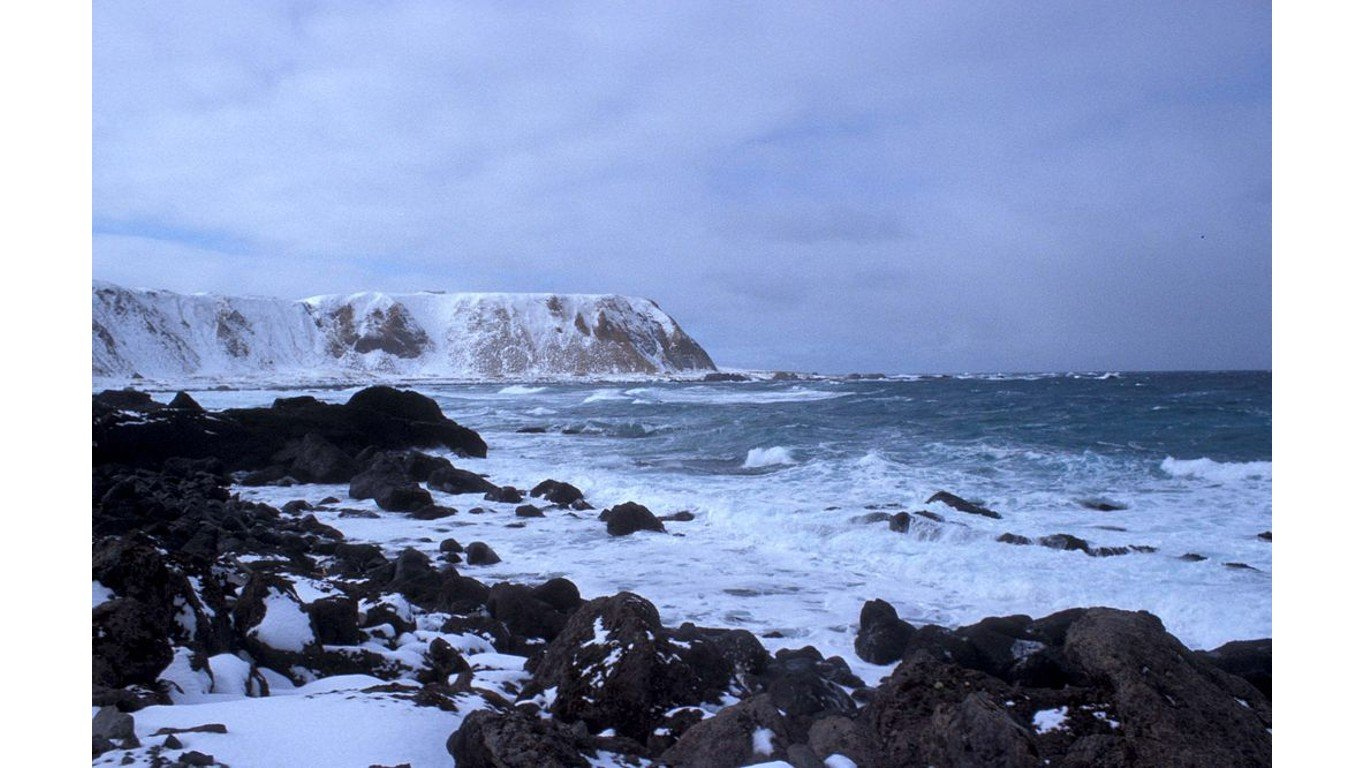
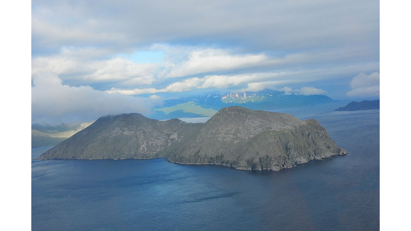
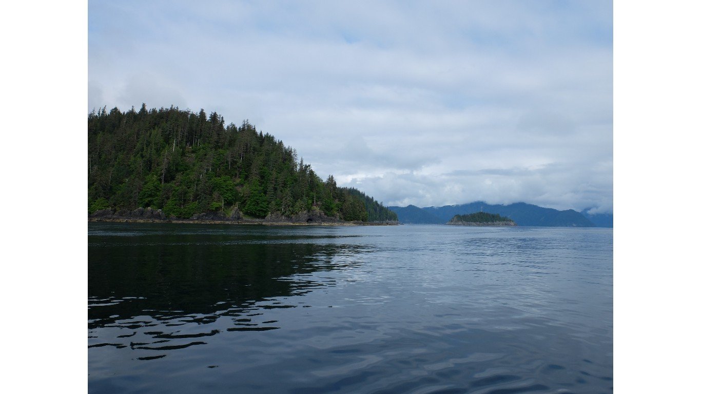
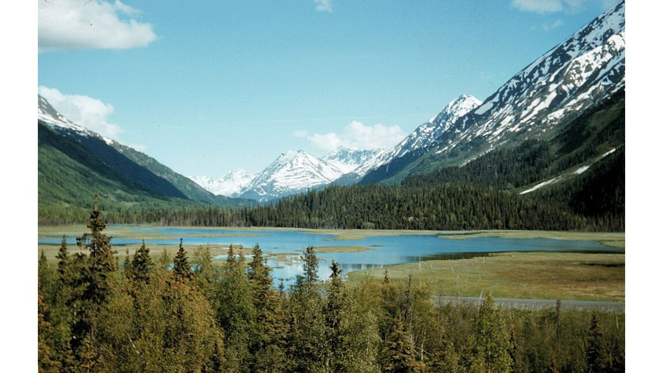
About 90% of the world’s earthquakes (and about 81% of the largest ones) occur in what is called the “Ring of Fire” – a horseshoe-shaped zone bordering the Pacific Ocean where the Pacific tectonic plate becomes subverted (or pushed under) the surrounding plates. The western coast of Mexico and the Aleutian Islands of Alaska are along this ring, and these areas have been the sites of numerous deadly earthquakes throughout history. (Alaska tops the list of the most earthquake prone states in America.)
It should be noted that the most powerful earthquakes are not necessarily the deadliest or most destructive. Factors including soil composition, building materials, and the size of the population and concentration of structures in the earthquake zone affect the outcome. For instance, the most powerful earthquake on the list below, the so-called Good Friday quake in Alaska in 1964, which measured 9.2, claimed 128 lives – while the famous 1906 San Francisco earthquake, with an estimated intensity of 7.9, was responsible for as many as 3,000 deaths.
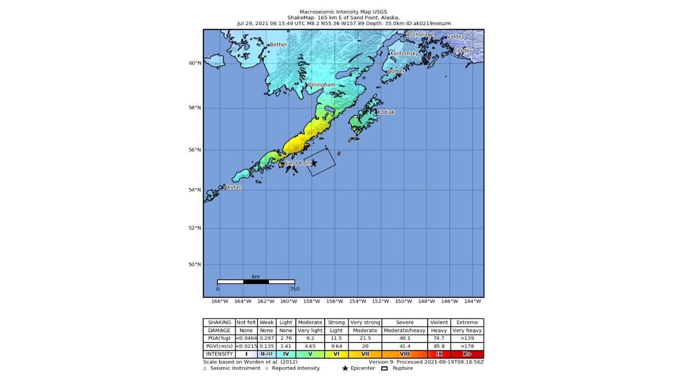
Alaska Peninsula, July 29, 2021
> Approximate impact zone: Off the coast SE of Perryville, Alaska
> Magnitude: 8.2
> Depth: 21.7 miles
A magnitude 8.2 earthquake struck the Alaska Peninsula in the early morning. While no deaths were reported, the quake did generate a small tsunami that reached as far as Port San Luis, California. Scientists commented that its depth – it took place about 20 miles beneath the ocean floor – and the sparse population in the immediate area helped mitigate potential damage and casualties.

Colima, Mexico, Oct. 9, 1995
> Approximate impact zone: 3 miles E of El Colomo, Mexico
> Magnitude: 8.0
> Depth: 20.5 miles
In the pre-dawn hours, El Colomo, a small town about three miles east of Manzanillo in the state of Colima, was rocked by a magnitude 8 earthquake. The seismic event caused significant damage to the city of Colima and Jalisco, about 100 miles to the north, with landslides blocking roads between Guadalajara and Manzanillo. The disaster resulted in 49 fatalities, 100 injured, and close to 1,000 homeless. The quake was felt by people in high-rise buildings as far as Dallas, Houston, and Oklahoma City.
Andreanof Islands, Aleutian Islands, Alaska, May 7, 1986
> Approximate impact zone: 52.8 miles SSW of Atka, Alaska
> Magnitude: 8.0
> Depth: 20.5 miles
In 1986, a magnitude 8.0 earthquake caused significant damage in Adak and Atka, Alaska. A subsequent small tsunami generated wave heights ranging from two to four feet at various locations in Alaska, British Columbia, and Washington state, and as high as 10 feet in Hawaii, 4,000 miles from the epicenter. Although buildings and structures were damaged in Adak, no deaths were reported, due in large part to the remote location of the quake and the region’s sparse population.
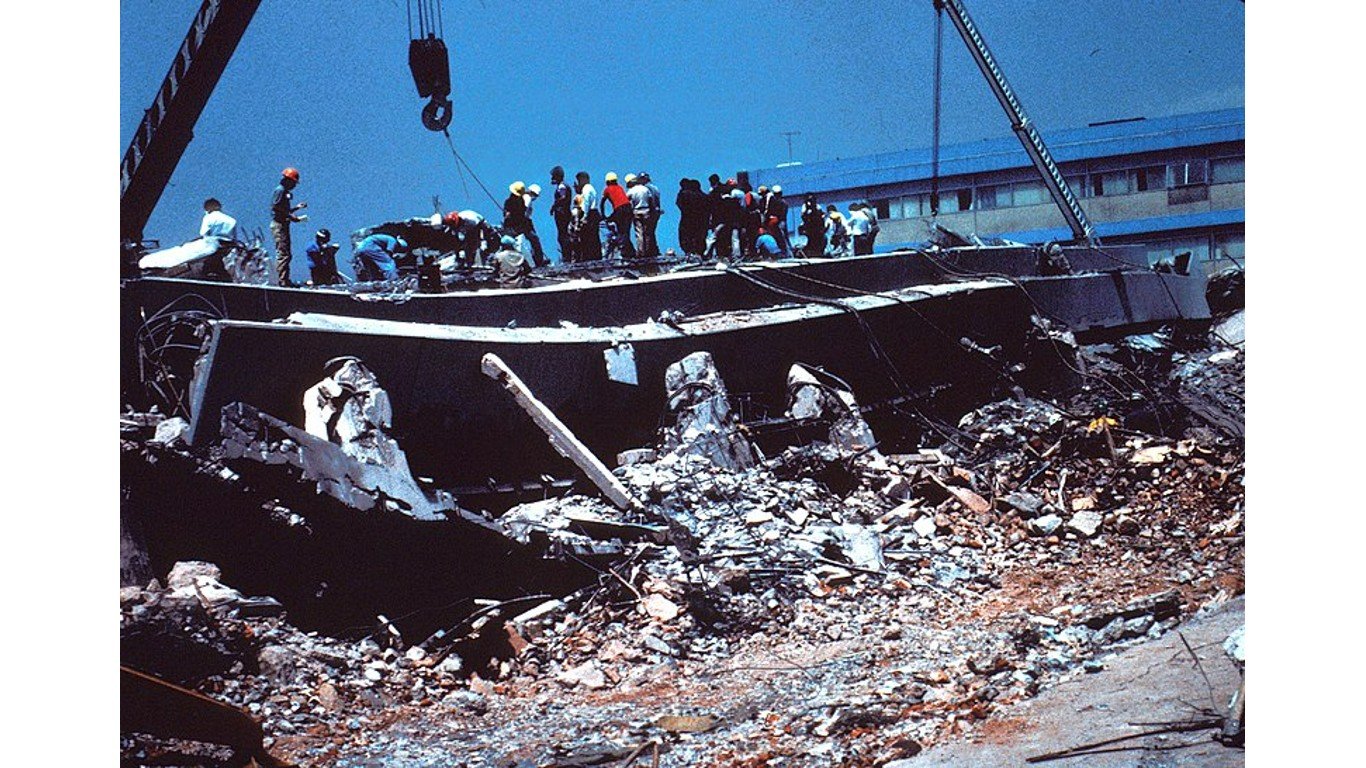
Michoacán, Mexico, Sept. 19, 1985
> Approximate impact zone: 16 miles NW of El Habillal, Mexico
> Magnitude: 8.0
> Depth: 17.3 miles
Striking a coastal area with a magnitude of 8.0, this 1985 earthquake caused catastrophic damage in Mexico City and numerous central Mexican states, and ranks among the world’s deadliest earthquakes. It claimed at least 9,500 lives – although some sources place the death toll as high as 35,000 – as well as injuring approximately 30,000 individuals and displacing over 100,000 people. About 60% of the buildings in Ciudad Guzmán, in the state of Jalisco, were destroyed and total damages amounted to over $3 billion.
Rat Islands, Aleutian Islands, Alaska, Feb. 4, 1965
> Approximate impact zone: 50.9 miles S of Little Sitkin Island, Alaska
> Magnitude: 8.7
> Depth: 18.8 miles
This magnitude 8.7 earthquake rippling through the Rat Islands triggered a tsunami, causing minor flooding in Amchitka and Shemya, with wave heights reaching 30 to 35 feet along Shemya’s southern shore. Despite the damage to buildings and roads, there were no reported casualties.
Prince William Sound, Alaska, March 28, 1964
> Approximate impact zone: Prince William Sound, Alaska
> Magnitude: 9.2
> Depth: 15.5 miles
Known as the Good Friday or Great Alaska Earthquake, this catastrophic magnitude 9.2 quake shook Prince William Sound, Alaska. As the second-largest earthquake anywhere in the world since 1900, it caused immense devastation, leading to 128 fatalities. Of these, 113 died due to the tsunami triggered by the quake, while 15 perished in the earthquake itself. The tragedy also resulted in billions of dollars in property loss, especially in Anchorage, which lies 75 miles northwest of the epicenter.
Andreanof Islands, Aleutian Islands, Alaska, March 9, 1957
> Approximate impact zone: 50.3 miles ESE of Adak, Alaska
> Magnitude: 8.6
> Depth: 15.5 miles
This 1957 earthquake occurred in the Aleutian Trench off the Andreanof Islands. While it caused severe damage on nearby Adak Island, no casualties were reported. The subsequent tsunami, however, reached heights of 98 feet and traveled as far as Chile and Japan. It caused over $57 million worth of damage (in today’s dollars) in the Hawaiian Islands, mostly on Oahu and Kauai, where it destroyed multiple villages.
Haida Gwaii, British Columbia, Canada, Aug. 22, 1949
> Approximate impact zone: 106 miles S of Hydaburg, Alaska
> Magnitude: 8.0
> Depth: 6.2 miles
On August 22, 1949, Canada experienced its largest earthquake since 1700, with a magnitude of 8.0 in the Haida Gwaii archipelago (then known as the Queen Charlotte Islands) off the coast of British Columbia. The shaking was severe, causing landslides, knocking people and cows off their feet, breaking windows, and toppling chimneys. The quake was also felt throughout southeastern Alaska. Remarkably, there were no direct casualties.

Unimak Island, Aleutian Islands, Alaska, April 1, 1946
> Approximate impact zone: Unimak Island, Aleutian Islands, Alaska
> Magnitude: 8.6
> Depth: 9.3 miles
This offshore earthquake did little direct damage but triggered a Pacific-wide tsunami that destroyed the Scotch Cap Lighthouse on Unimak Island in the Aleutians, killing all five lighthouse keepers, and caused $424 million (in today’s dollars) in damage to the Hawaiian Islands. Casualties included 159 people in Hawaii and one in California.
Alaska Peninsula, Nov. 10, 1938
> Approximate impact zone: E of Shumagin Islands, Alaska
> Magnitude: 8.2
> Depth: 21.7 miles
Affecting a largely aquatic area, this magnitude 8.2 quake rattled the seas east of the Shumagin Islands. The tremors were felt on Unimak Island and in Anchorage, while a small tsunami reached Hilo and Honolulu in Hawaii. Luckily, the land areas impacted were sparsely settled and minimal damage was reported.
Jalisco, Mexico, June 3, 1932
> Approximate impact zone: 2.5 miles ENE of Tonaya, Mexico
> Magnitude: 8.1
> Depth: 21.7 miles
A devastating earthquake of magnitude 8.1 struck near Tonaya, causing significant damage and loss of life in Jalisco, Colima, and Nayarit. At least 400 people died in Mexico and Guatemala, and 120 people were injured. Over 200 homes in Colima were damaged or destroyed, and a subsequent tsunami also caused destruction in the area. This quake was the first of several to rock the region in June of 1932, all of magnitude 7 or above.
Rat Islands, Aleutian Islands, Alaska, Aug. 17, 1906
> Approximate impact zone: Rat Islands, Aleutian Islands, Alaska
> Magnitude: 8.3
> Depth: 68.4 miles
This intraplate earthquake in the Rat Islands, an uninhabited stretch of the Aleutians, caused no reported damage or deaths. Despite the event’s intensity, both its extreme depth and its distance from inhabited areas helped prevent widespread destruction. The strongest earthquake recorded anywhere since 1900, which struck the Chilean coastal city of Valdivia with a force of 9.5, came just half an hour after the Rat Islands quake, but the concurrence is thought to have been coincidental.